Boston Bulldog
Member
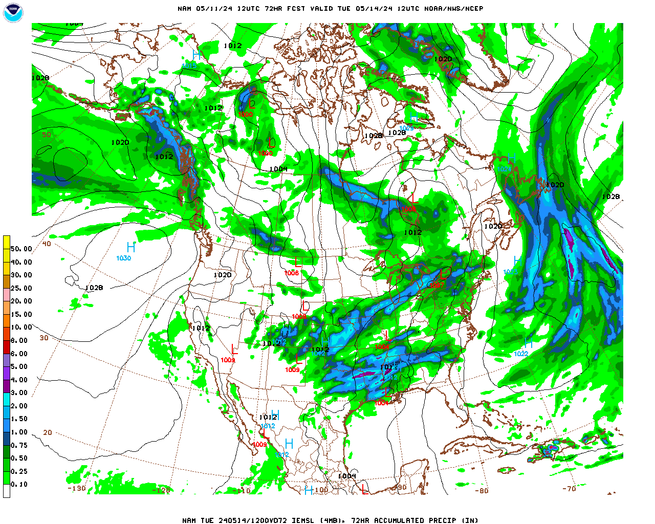
Here it is (Look if you dare!)

Nearly 20 inches south of boston!? Gimme a break :flame:
Nearly 20 inches south of boston!? Gimme a break :flame:
Welcome to AlpineZone, the largest online community of skiers and snowboarders in the Northeast!
You may have to REGISTER before you can post. Registering is FREE, gets rid of the majority of advertisements, and lets you participate in giveaways and other AlpineZone events!
I bet tomorrow's 12z NAM has a completely different solution, and one that looks much more like EURO, GFS, and Canuck. It is scary that it wants to pull the storm even farther east though.


Love it!

OK, OK, OK. Kelly's sealed the deal. I'm taking off Monday AND TUESDAY. Snow every day until the end of the year? Best early conditions in 20 years? When you finish watching this video you may have to change your pants. Well, at least the Tim Kelly part. As Kelly ends, he says, "Livin' the dream..."