billski
Active member
Roger Hill April 2
Welcome to AlpineZone, the largest online community of skiers and snowboarders in the Northeast!
You may have to REGISTER before you can post. Registering is FREE, gets rid of the majority of advertisements, and lets you participate in giveaways and other AlpineZone events!
〽❄❅;900071 said:^ TWC isn't showing much for the weekend

In other weather news, it just stopped snowing here at Smuggs, but snowed for a good hour. Never-ending winter!
So BG, you're playing in the snow? How is it? dense? wet? what are the temps at elevation? Inquiring minds want to know!
You are flirting with fire young man. Remember, ski season is going into May this year!I might have to go to Jay on Saturday and Burke on Sunday. Grandma will be disappointed that I am missing Easter but a man needs to have priorities.
Sent from my iPad using AlpineZone mobile app
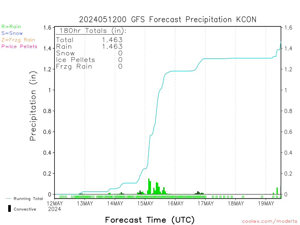
So what else is there to know? Just be careful going through the rain/snow transition when you drive up. I might just have to hang onto that JP voucher!Jay, the whites, Maine just get punished Saturday on the 18z GFS.
")