• Welcome to AlpineZone, the largest online community of skiers and snowboarders in the Northeast!

    You may have to REGISTER before you can post. Registering is FREE, gets rid of the majority of advertisements, and lets you participate in giveaways and other AlpineZone events!

Worst Trail Maps

BeefyBoy50

New member
Joined
Dec 3, 2012
Messages
149
Points
0
Location
Norristown, PA
I love looking at trail maps in my spare time. Some of them (almost always drawn by James Niehues) are fantastic- they really replicate the actual look and feel of the mountains. These trail maps are almost artwork in how beautifully they are drawn.

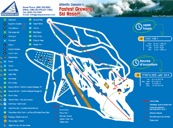
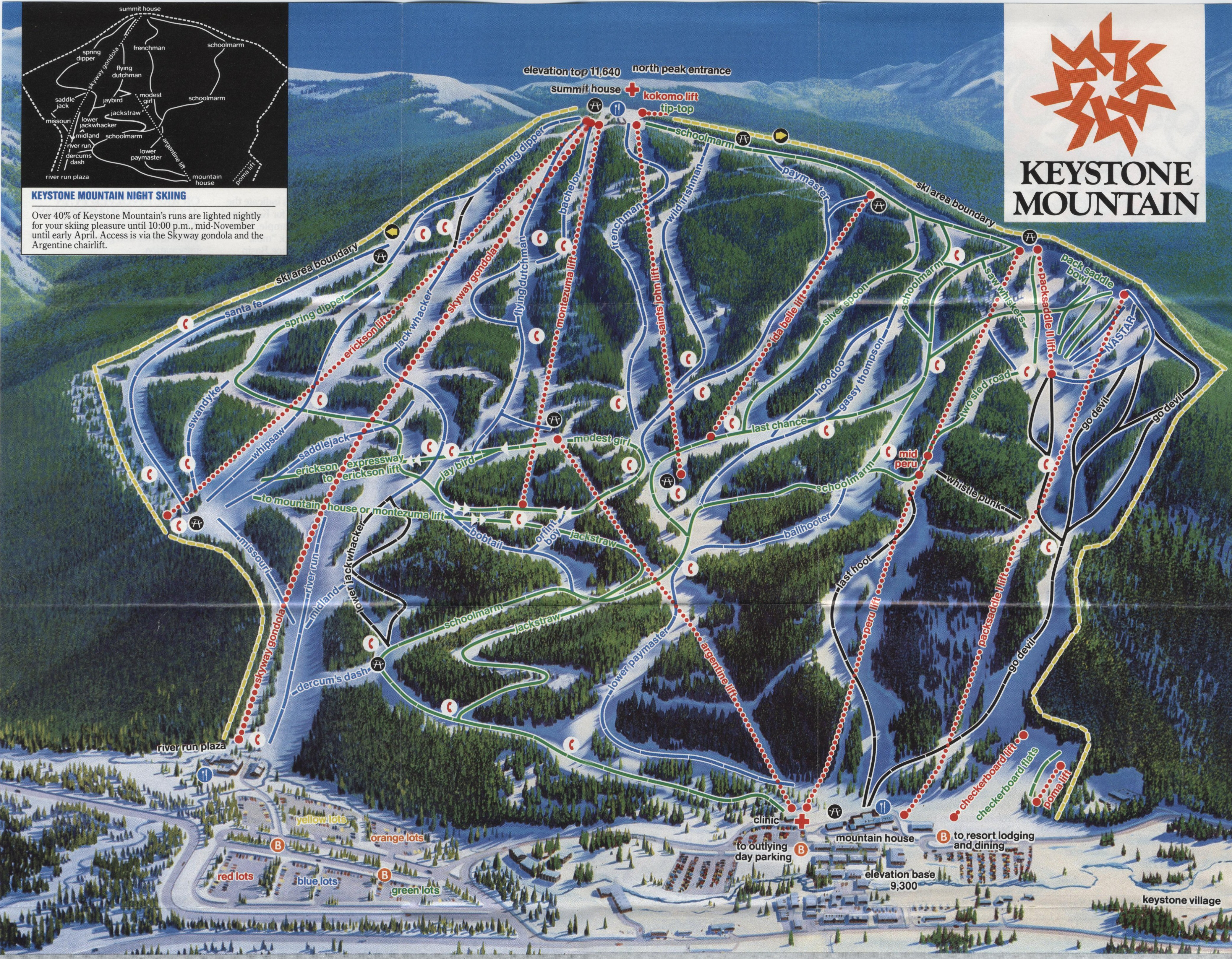
Other trail maps are painful to look at and provide little clue as to how the mountain is actually laid out. I'm thinking in particular of the Breckenridge and (even worse) Copper Mountain trail maps. I wish we could tell these mountains to commission some artist to design a real map for them.

What do you guys think are the worst-looking maps?
 

ironhippy

Member
Joined
May 16, 2014
Messages
408
Points
18
Location
NB Canda
Poley Mountain in Southern New Brunswick.

Poley-Mountain-Ski-Trail-Map.mediumthumb.pdf.png


Here's the link to their PDF http://www.poleymountain.com/mounta...nload/5_fda9d6d0ad8bfe9ea847978b73b9a5e5.html
 

Domeskier

Well-known member
Joined
Oct 15, 2012
Messages
2,274
Points
63
Location
New York
I like this one from 1969 because they rate the relative difficulty of the base lodge and the skating rink - and the base lodge wins:

Old-Gore-Map.jpg
 

freeski

New member
Joined
Nov 9, 2014
Messages
312
Points
0
Location
Concord, NH
I like the old maps with topo lines. I'd like to see more non-Niehues maps. His are nice, but all the same. He does capture the layout of the mountain pretty well though (not easy to do).
 

skiNEwhere

Active member
Joined
Oct 29, 2006
Messages
4,141
Points
38
Location
Dubai
There is some trail map I saw a while back that literally looked like someone drew it freehand on an 8.5 and 11 and uploaded it. Can't remember where though.

Small ski areas get a free pass in my book though to have bad trail maps. There's no need to spend the time and money when the majority of skiers are locals. As far as big ski areas, I always thought this one, from 1986, was kind of confusing. Not really the map itself, but the mountain layout just appears really random.

1231125550.jpg
 

VTKilarney

Well-known member
Joined
Feb 5, 2014
Messages
5,553
Points
63
Location
VT NEK
I just took at look at James Niehues' gallery on his website. You are correct. They all look the same. Great work, but if you've seen one you've seen them all.
 

dlague

Active member
Joined
Nov 7, 2012
Messages
8,792
Points
36
Location
CS, Colorado
There is some trail map I saw a while back that literally looked like someone drew it freehand on an 8.5 and 11 and uploaded it. Can't remember where though.

Small ski areas get a free pass in my book though to have bad trail maps. There's no need to spend the time and money when the majority of skiers are locals. As far as big ski areas, I always thought this one, from 1986, was kind of confusing. Not really the map itself, but the mountain layout just appears really random.

1231125550.jpg

Looks like a rats nest in the middle!
 

skiMEbike

New member
Joined
Jul 29, 2014
Messages
346
Points
0
Location
Maine
I have to say I don't particularly like the map from my home mountain of Sugarloaf....Fortunately, I hardly ever look at the thing, but I imagine its has to be a bit cumbersome for someone who does not know the mountain. My gripe with the map is the amount of "space" on the map devoted to Bracket Basin & West Mountain. Looking at the page layout, you have about 2/3 of the map devoted to those sections & the rest (& most important part of the mountain) crammed into about 1/3 of the map.

http://www.sugarloaf.com/Documents/Sugarloaf/SUG_1415_TrailMap_R2b.pdf
 

xwhaler

Active member
Joined
Nov 26, 2007
Messages
2,943
Points
38
Location
Seacoast NH
Middlebury Snow Bowl:
-Map blurry and hard to read
-Makes the place seem really small. There are a ton of off map glades that have the ski area ski much bigger than its vertical would suggest.
Trail map doing Middlebury no favors in attracting 1st timers IMHO

9545572_orig.jpg
 

xwhaler

Active member
Joined
Nov 26, 2007
Messages
2,943
Points
38
Location
Seacoast NH
Black Mtn of ME
Lots of Angry Beaver glades that have trail signs that haven;t yet made it onto the official map. I don't think they are "secret stashes" as much as BMOM just hasn't highlighted them yet.
Place is a gem for low/mid angle tree skiing at a great price and some freshinng to the trail map would help.

Black-Mountain-Alpine-Trail-Map_600.png
 

ceo

Active member
Joined
Apr 1, 2009
Messages
393
Points
28
The problem with Sugarloaf's is that the labels make it really hard to see how the trails connect with each other. A lot of Niehues's maps have this problem; Sugarloaf in particular is a really trail-dense resort and would probably benefit from a more schematic trail map format.
 

skiNEwhere

Active member
Joined
Oct 29, 2006
Messages
4,141
Points
38
Location
Dubai
Am I the only one who used to draw trail maps as a kid? If so, I'll nominate mine as the worst.
 

BenedictGomez

Well-known member
Joined
Jan 26, 2011
Messages
12,182
Points
113
Location
Wasatch Back
Mad River Glen

Tried to use this incomprehensible thing the first time I visited this year, and I basically gave up and just "went skiing" so to speak.

spanky_trail_side_web.jpg
 
Top