catsup948
New member
18z GFS was very nice for the Berkshires. It has a low pretty close to the benchmark, Euro has a more amped low going over Burlington. Maybe we can get something in between and a big hit for western New England
Welcome to AlpineZone, the largest online community of skiers and snowboarders in the Northeast!
You may have to REGISTER before you can post. Registering is FREE, gets rid of the majority of advertisements, and lets you participate in giveaways and other AlpineZone events!


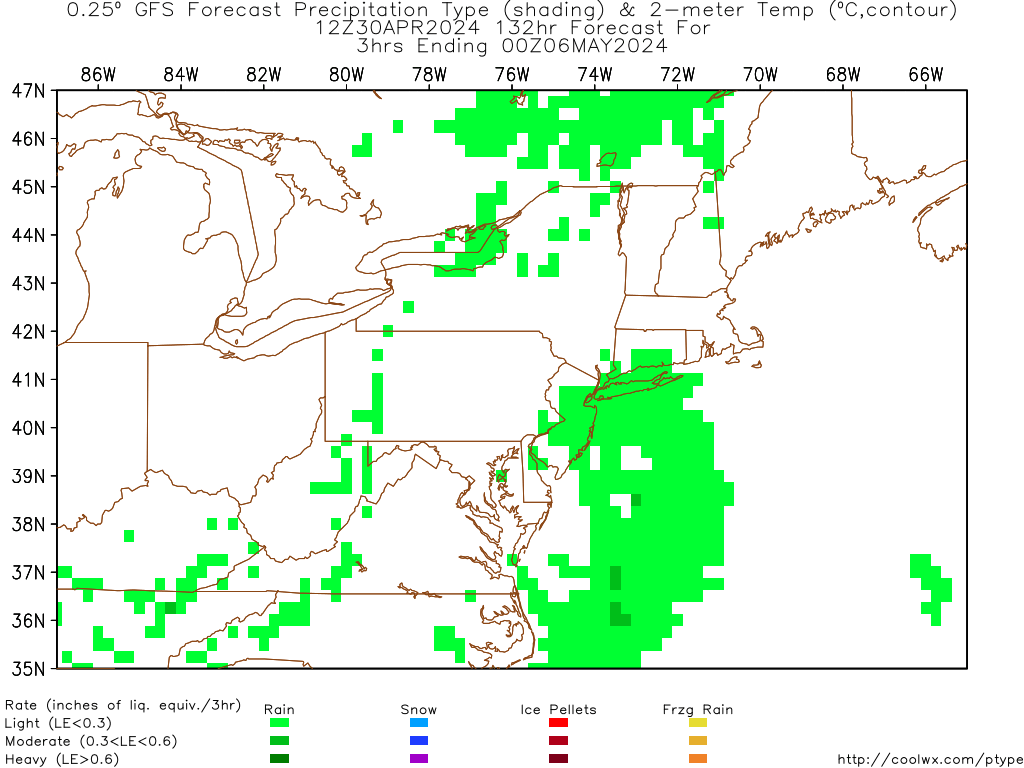
00z GFS is in, and it shifts west, expands precipitation shield, fantastic run for all of ski country.
Ironically, while this appears to be awesome, I fear this might be bad news.
West again at 06z. Let's hope that movement stops ASAP.
Globals have been god awful this year though. Less used models seem to be doing quite well. And, dare I say, the NAM has been juiced but better with tracks.


25 inch totals forecast in ski country by some models and people still rooting for a bad winter...
We're on a razor's edge for sure but I'm still seeing more likely than not that this breaks the right way.
After looking at the GFS out to 384 hours for shits and giggles... all I'm gonna say is... we're got a lotof shots for precipitation. Alright class? Who can guess the key word in that sentence? Precipitation.
In all seriousness, it's a good thing these things are wrong whenever they're ~100 hours+ out, or else I'd call Noah and get the Ark built NOW!
 uke:uke:uke:uke:uke:uke:uke:uke:uke:uke:uke:uke: