billski
Active member
Need to get more vertical under my feet, pump up the cardio a notch. Good day to be outside, along with the once-a-year-obligatory-day-trippers. Headed for North Pack, but looking for a less than obvious popular redoubt to avoid all the yick-yackers.
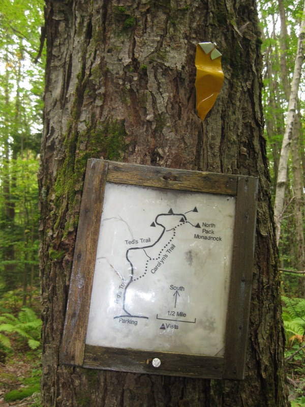
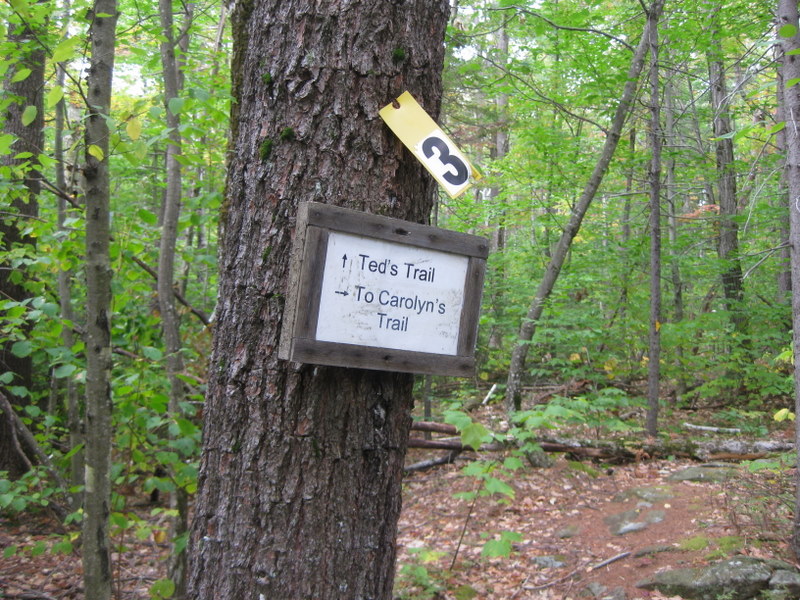
Trail - Ted's, Carolyn's, Cliff. Trailhead is 1.2 miles east of the Wapack trail northern. terminus. 1400 total vertical, 5 miles.
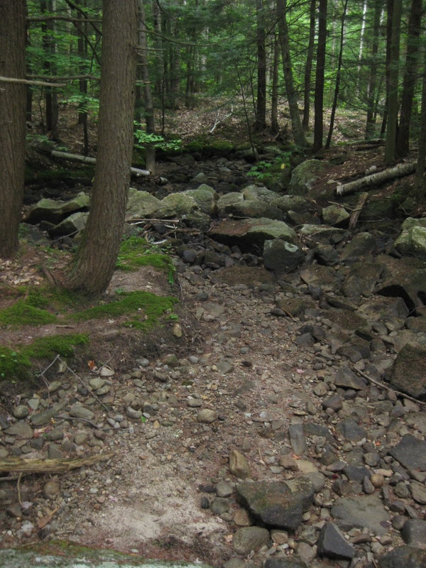
Brooks were bone dry. Sing hallelujah the biting insects are gone, gone gone!
These trails are getting a lot of love - recently cleared, crossings all updated.
This sign is 0.5 miles in from Mt. Road
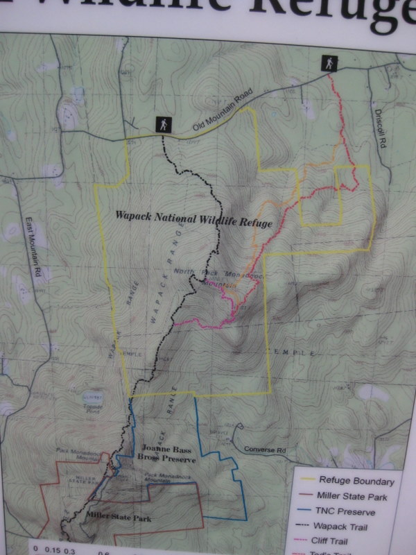
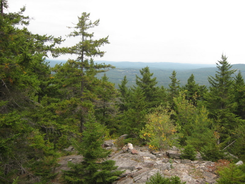
The route. I was on the orange and red trails.
Economic stimulus funds make these markers?
Before the vertical, about a mile in. Guess they were thinking of those less in shape, or perhaps elderly? All I can think of is stimulus funding.
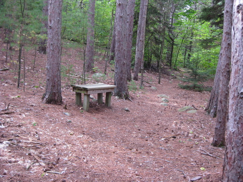
A numbering system I never figured out. Guess they are points of interest, but I only found one obvious point of interest.
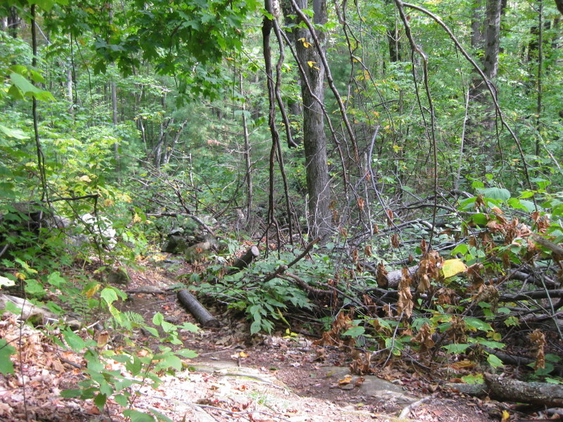
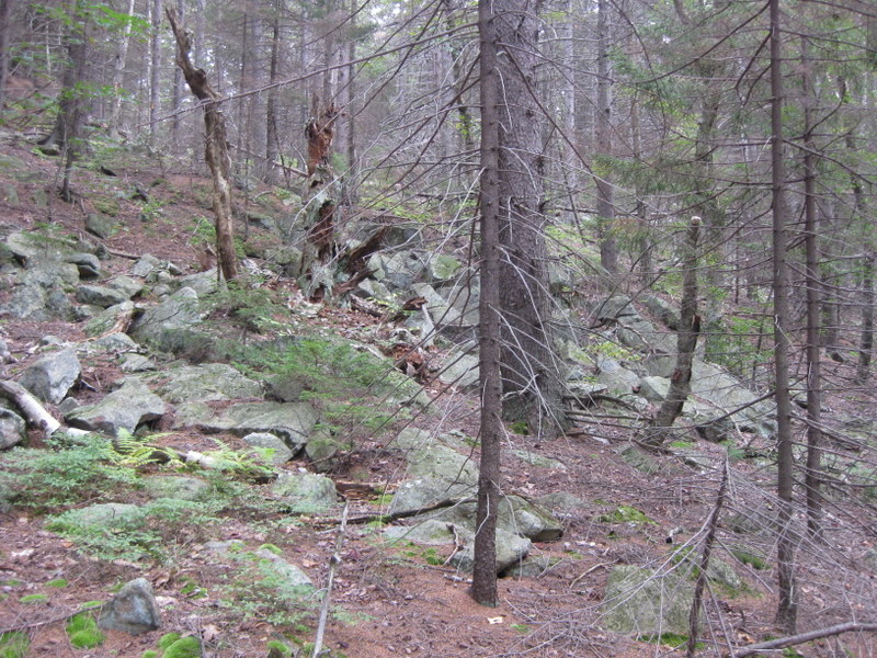
Cleared 2008 Ice storm carnage.
People really entertain themselves with carins out here. I've never seen sooo many, except maybe on Grand Monadnock.
A sure sign the snows will fly:
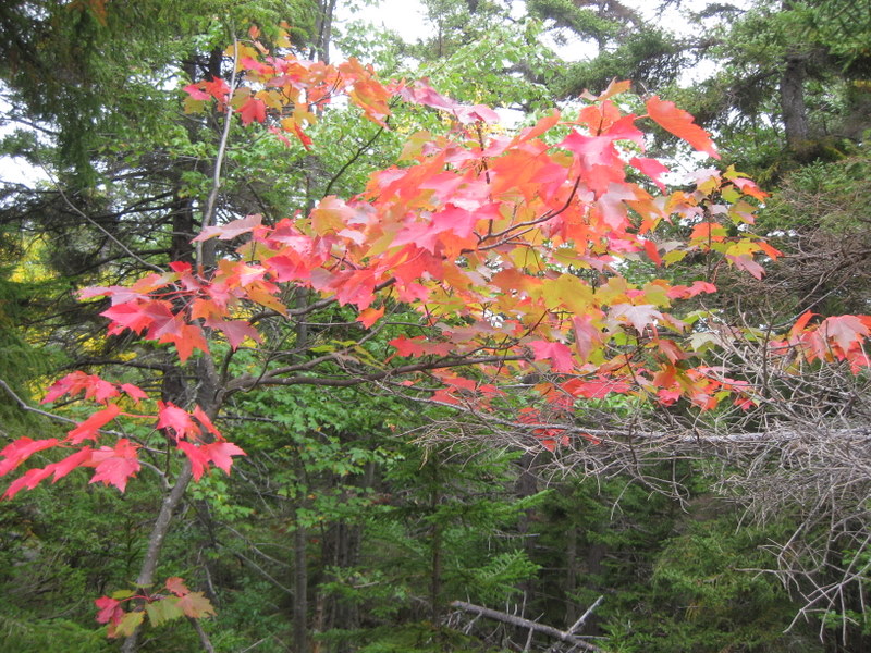
To every season, turn, turn, turn:
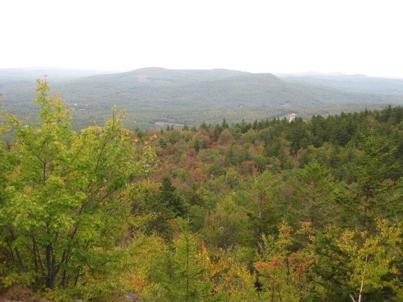
Too many people on top to take pics, not a quiet place to be found. They all came in from the Wapack, except three parties that came in the way I did. Must a been 40 souls up there.
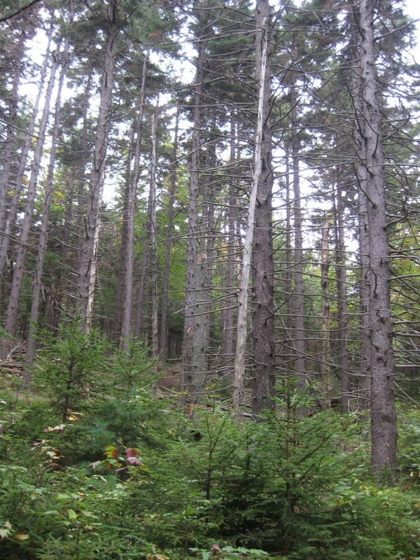
Old Growth:
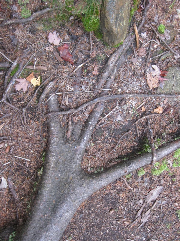
I am pretty sure this is a dinosaur foot. 8)
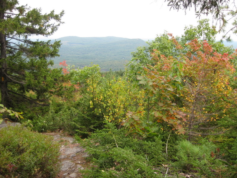
Deep, deep quiet
Old-style trail marker.
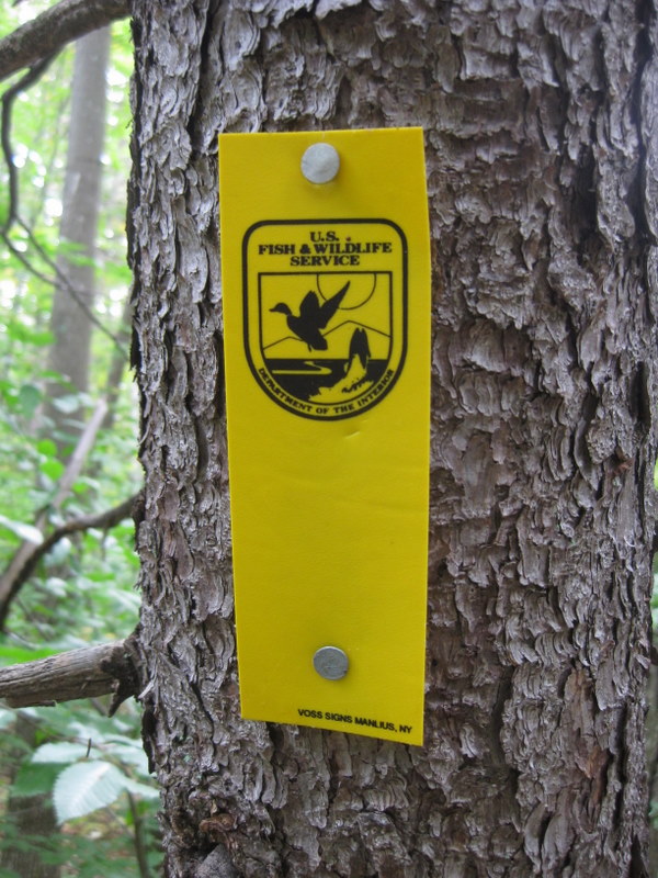
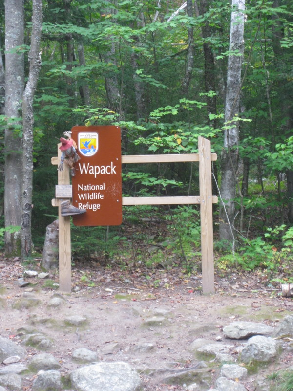
The northern terminus of the Wapack had about a dozen cars at the trailhead. I guess decorations are in vogue these days:
A bad ending to the day. Speared the radiator with a tree downfall. Got a ride in the tow truck, home late, waiting for the doctor to call.
Trail - Ted's, Carolyn's, Cliff. Trailhead is 1.2 miles east of the Wapack trail northern. terminus. 1400 total vertical, 5 miles.
Brooks were bone dry. Sing hallelujah the biting insects are gone, gone gone!
These trails are getting a lot of love - recently cleared, crossings all updated.
This sign is 0.5 miles in from Mt. Road
The route. I was on the orange and red trails.
Economic stimulus funds make these markers?
Before the vertical, about a mile in. Guess they were thinking of those less in shape, or perhaps elderly? All I can think of is stimulus funding.
A numbering system I never figured out. Guess they are points of interest, but I only found one obvious point of interest.
Cleared 2008 Ice storm carnage.
People really entertain themselves with carins out here. I've never seen sooo many, except maybe on Grand Monadnock.
A sure sign the snows will fly:
To every season, turn, turn, turn:
Too many people on top to take pics, not a quiet place to be found. They all came in from the Wapack, except three parties that came in the way I did. Must a been 40 souls up there.
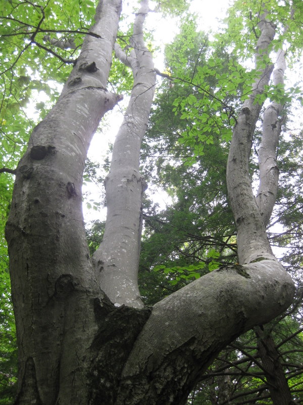
Old Growth:
I am pretty sure this is a dinosaur foot. 8)
Deep, deep quiet
Old-style trail marker.
The northern terminus of the Wapack had about a dozen cars at the trailhead. I guess decorations are in vogue these days:
A bad ending to the day. Speared the radiator with a tree downfall. Got a ride in the tow truck, home late, waiting for the doctor to call.