• Welcome to AlpineZone, the largest online community of skiers and snowboarders in the Northeast!

    You may have to REGISTER before you can post. Registering is FREE, gets rid of the majority of advertisements, and lets you participate in giveaways and other AlpineZone events!

Jay Peak Conceptual Development Plan (2011-2016)

Joined
Sep 22, 2010
Messages
161
Points
16
Location
The Hinterlands
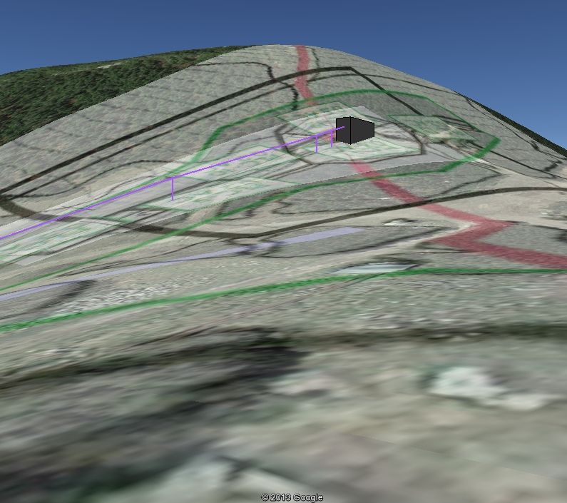
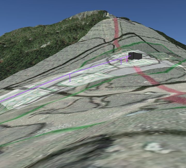
Interesting stuff with respect to snowmaking. I am not too sure why they have such regulations. Water used for snowmaking goes back into the watershed comes spring...

Water use regulations are in place to protect a diminishing resource that is in high demand: water. Jay uses water for not only for snowmaking, but the water park, ice rink, drinking, septic, and not least of all, the golf course. Then there are the people that live downstream, not to mention the critters that live in the stream, like trout, frogs and bugs. What are you going to do when the well runs dry? Someone has to keep an eye out, and that is what rules are for. I gather that you are an engineer - think about it: why do we need a building code?

A quote from a document well worth reading, publishing by those drooling tree-huggers over at Trout Unlimited:

Snow quality and snow cover are two of the most sought-after criteria in a resort.

While the popularity of skiing and other winter resort sports is increasing, natural snow cover has been consistently decreasing due to a gradual regional warming. Snowfall has decreased across northern New England by almost 15% over
the last half-century. Ski resorts increasingly must rely on artificial snowmaking to keep their mountains operational.

Artificial snowmaking operations require massive amounts of water. To cover one acre of ski trails with one foot of snow requires about 150,000 to 180,000 gallons of water. The sixteen snowmaking operations in Maine use about 600 million gallons of water per year. Most of this water otherwise would have flowed into a nearby river or brook trout stream.

On an annual basis, snowmaking generates minimal net loss to a watershed because spring snowmelt returns the water originally consumed for snowmaking back to the watershed. However, the seasonal reduction in wintertime natural streamflow can damage streams by reducing available habitat, dewatering important spawning areas and increasing the risks of harmful anchor ice. Winter is a naturally stressful time for stream environments because much streamflow is captured as snow and ice, so additional reductions in flow present significant risks. Ecological damage caused by low winter flows is rarely remedied by the spring melt.

From: A Glass Half Full - The Future of Water in New England

The environ-meddlers at the Vermont Agency of Natural Resources have this say about water and snowmaking:

AGENCY OF NATURAL RESOURCES
ENVIRONMENTAL PROTECTION RULES
CHAPTER 16
WATER WITHDRAWALS FOR SNOWMAKING
Section 16-01 Authority
These rules are adopted pursuant to the authority of Title 10 V.S.A. Chapter 41, Subchapter
3. Water Withdrawal for Snowmaking. These rules shall not supersede the water quality standards adopted by the water resources board pursuant to Title 10 V.S.A. Chapter 47.
Section 16-02 Policy
It is the policy of the State of Vermont to:
(1) assure the protection, maintenance, and restoration of the chemical, physical, and biological water quality, including water quantity, necessary to sustain aquatic communities and stream functions;
(2) help to provide for and enhance the viability of Vermont's ski industry, which uses certain of the state's waters for snowmaking;
(3) permit water withdrawals, diversions, impoundments, and the construction of appurtenant facilities for snowmaking, based on an analysis of the need for water and a consideration of alternatives, consistent with this policy and other applicable laws and rules;
(4) recognize that existing users of the state's waters for snowmaking, which may have an adverse effect on water quality, should have time and opportunity to improve water quality.

Sorry, I lost the link to that document, which goes on for seven pages with the various regulations regarding water use for snowmaking. It is somewhere in here: http://www.anr.state.vt.us
 
Last edited:

fbrissette

Well-known member
Joined
Mar 19, 2012
Messages
1,672
Points
48
Location
Montreal/Jay Peak
Thanks for the info. I am indeed an engineer, (hydrology engineer on top of that...) but definitely not familiar with small mountain watersheds and environmental impacts. I would have thought that the impacts of a golf course (where most of the pumped water goes back to the atmosphere) dwarf the ones from snowmaking. I will educate myself, starting with the info you provided.
 

BenedictGomez

Well-known member
Joined
Jan 26, 2011
Messages
12,225
Points
113
Location
Wasatch Back
Maybe next time you could use a wider paintbrush and include Jimmy Carter and the Bicknell's Thrush.

I'm not sure how Jimmy Carter fits in, but there was already an exhaustive thread about the Bicknell's Thrush earlier this year. The current available research is specious at best, with the researchers admitting that it is not even a certainty that there is a problem with the bird's numbers in the first place. But no matter, we will act and highly publicize it as though there 100% is a problem, and since we're "not sure" the only prudent thing to do of course is to proceed as if it is a threatened species (recurring MO over the years).

I predict this issue rears its' head during some portion of Jay's West Bowl expansion (which is one of the reasons why I'm not optimistic it's going to happen), heaven forbid they should find a few nests a touch lower at say the 2600 level, etc... But who knows, apparently Stowe somehow maneuvered around it. Fingers crossed.
 

thetrailboss

Moderator
Staff member
Moderator
Joined
Jun 4, 2004
Messages
32,536
Points
113
Location
NEK by Birth
FWIW Jay and Burke once again appeared in SKI Magazine (page 22). The short article was about the EB-5 investments. You can't miss it since the magazine is a mere 68 pages long. Pretty sad.....
 

BenedictGomez

Well-known member
Joined
Jan 26, 2011
Messages
12,225
Points
113
Location
Wasatch Back
including 48 pages of advertisements. Atleast it's minimal cost...

As in free. Does anyone pay for SKI Magazine anymore? It seems more an more mags are going the free distribution route. I've received SKI for free for 3 years now I think, and just yesterday I got an offer for free Rolling Stone.
 

jimmywilson69

Well-known member
Joined
Oct 18, 2010
Messages
3,221
Points
113
Location
Dillsburg, PA
Yeah I pay for it. LIke $10 a year. Plus I just renewed through my sons school fundraiser.


I guess I'm a chump...:oops:
 

BenedictGomez

Well-known member
Joined
Jan 26, 2011
Messages
12,225
Points
113
Location
Wasatch Back
Yeah I pay for it. LIke $10 a year. Plus I just renewed through my sons school fundraiser.


I guess I'm a chump...:oops:

Download a coupon/deal app to your smartphone and you'll get a bunch of "free subscription" offers to various magazines over the course of the year. Alternatively, anyone who attends the Warren Miller movie each year gets a free subscription as well.
 

from_the_NEK

Active member
Joined
Jun 5, 2006
Messages
4,576
Points
38
Location
Lyndonville, VT
Website
fineartamerica.com
On a side note for Jay: Google Earth has recently updated the Digital Elevation Model (DEM) in the area covering Jay. The summit is MUCH better defined and you can actually see the cutout that was made for the Tram terminal.

Old DEM:
GE_Powerline6_Summit-fromBonne.jpg


New DEM:
GE_Powerline6_Summit-fromBonnie_newDEM_zps4974fe67.jpg


The elevations are more accurate as well and now line up well with contours on the engineering drawings I have been overlaying.

This also give the mountain a 2021' vert in Google Earth.
3861' (top of the ridge) - 1840 (bottom of Village Double) = 2021'
 
Last edited:

from_the_NEK

Active member
Joined
Jun 5, 2006
Messages
4,576
Points
38
Location
Lyndonville, VT
Website
fineartamerica.com
There are VERY detailed elevations on the Master Plan. elevation 1,815 is reached down where they park the tour buses below the main Tramside lot/garage.
3,856.7 at the summit :)
I know we've had this debate before :)
 

BenedictGomez

Well-known member
Joined
Jan 26, 2011
Messages
12,225
Points
113
Location
Wasatch Back
There are VERY detailed elevations on the Master Plan. elevation 1,815 is reached down where they park the tour buses below the main Tramside lot/garage.
3,856.7 at the summit :)

Totally legit. I ski that all the time. Ohhhh......wait......

Seriously though, for the sake of honesty, they should just quietly change it on the website during the summer to reflect reality.
 

fbrissette

Well-known member
Joined
Mar 19, 2012
Messages
1,672
Points
48
Location
Montreal/Jay Peak
Totally legit. I ski that all the time. Ohhhh......wait......

Seriously though, for the sake of honesty, they should just quietly change it on the website during the summer to reflect reality.

I mean, there is an official benchmark at the very summit PG1686 3862 feet.

Why they would quote anything higher than that is beyond me.

I'll make sure to ski all the way to the golf course to maximize my vertical next time.

------------------------------------------------------------------------------------

National Geodetic Survey, Retrieval Date = FEBRUARY 20, 2013 PG1686 *********************************************************************** PG1686 DESIGNATION - JAY PEAK PG1686 PID - PG1686 PG1686 STATE/COUNTY- VT/ORLEANS PG1686 COUNTRY - US PG1686 USGS QUAD - JAY PEAK (1986) PG1686 PG1686 *CURRENT SURVEY CONTROL PG1686 ______________________________________________________________________ PG1686* NAD 83(1996) POSITION- 44 55 27.15617(N) 072 31 32.58172(W) ADJUSTED PG1686* NAVD 88 ORTHO HEIGHT - 1177. (meters) 3862. (feet) SCALED PG1686 ______________________________________________________________________ PG1686 GEOID HEIGHT - -27.47 (meters) GEOID12A PG1686 LAPLACE CORR - 0.33 (seconds) DEFLEC12A PG1686 HORZ ORDER - SECOND PG1686 PG1686.The horizontal coordinates were established by classical geodetic methods PG1686.and adjusted by the National Geodetic Survey in May 1998.
 

riverc0il

New member
Joined
Jul 10, 2001
Messages
13,039
Points
0
Location
Ashland, NH
Website
www.thesnowway.com
There are VERY detailed elevations on the Master Plan. elevation 1,815 is reached down where they park the tour buses below the main Tramside lot/garage.
3,856.7 at the summit :)
I know we've had this debate before :)
Is 1815' the bottom of the condo double, maybe?

Not that I would defend Jay on this one. I've been strongly hostile to their vertical feet statistic.
 

fbrissette

Well-known member
Joined
Mar 19, 2012
Messages
1,672
Points
48
Location
Montreal/Jay Peak
Is 1815' the bottom of the condo double, maybe?

Not that I would defend Jay on this one. I've been strongly hostile to their vertical feet statistic.


from_the_Nek rightly took the bottom of the condo double at 1840. The tram exit is right at 3841. So it has a legit 2001' vertical (let's round it at 2000), although you could argue that skiing the ridge from the top puts the total vertical at 2023. Would be interesting to do a compilation of true vs stated vertical by the various ski resorts.
 
Joined
Sep 22, 2010
Messages
161
Points
16
Location
The Hinterlands
Stateside Lodge demolition day is April 8

My brother and sister both have lockers at Stateside. They got the notice to clear their stuff out by April 2, as the old lodge is coming down on the 8th. They have been assured that current locker holders have guaranteed lockers in the new building and that they will be in by the first week of December, 2012.

So, get down there and take a deep breath in the washroom of your choice, before it is too late. I, for one, have lots of memories in that building but I have too admit that it is time for an upgrade.

I hope some of you regulars will be able to get pictures of the tear-down. I would make the trip just for this event but will be in sunny Cuba doing the beach thing.
 
Top