BenedictGomez
Well-known member
Please take note that the Poconos is getting absolutely screwed as usual!
So much for the 8" to 12", not even gonna' be remotely close.
So much for the 8" to 12", not even gonna' be remotely close.
Welcome to AlpineZone, the largest online community of skiers and snowboarders in the Northeast!
You may have to REGISTER before you can post. Registering is FREE, gets rid of the majority of advertisements, and lets you participate in giveaways and other AlpineZone events!
Looking at the radar now... Albany might be the new Buffalo.
Can anyone who lives up there and doesnt work in the marketing department of a Catskills area ski resort verify this?
Please take note that the Poconos is getting absolutely screwed as usual!
So much for the 8" to 12", not even gonna' be remotely close.
Any Elk Beta?, Summint 29 Base 32,
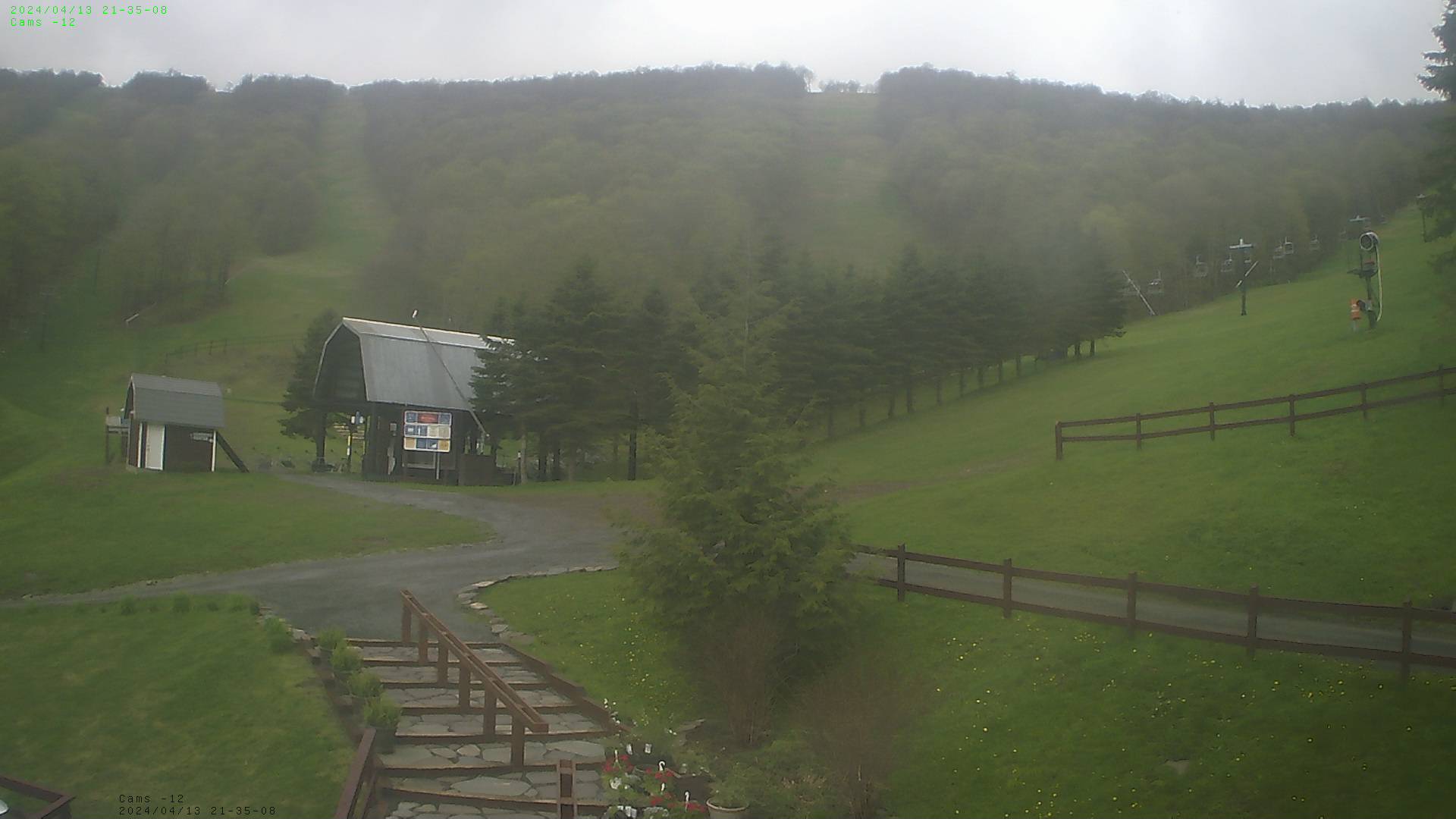
They've had the same picture on the webcam for 3 days

Someone on KZ mentioned 9". That would be amazing.
Current radar. See what I'm thinking about New Hampshire?
If you imagine that picture going forward in time, it just seems like they're going to be victimized by several hours of dry-slotting and/or light snow.

Hunter claims they already have 7".
Can anyone who lives up there and doesnt work in the marketing department of a Catskills area ski resort verify this?
Take one look at the live cam! Its been nuking for about 4 hours now! It snowed all day as well.

Any Elk Beta?, Summint 29 Base 32,
They've had the same picture on the webcam for 3 days
I'll let you know in 13 hours.
Look for a hellacious thump of snow on the front end at first, then a dry slot with rain showers to moisten up the pack. After we get slotted, back edge snows should race back in as the storm pivots back around.
That's my interpretation.