• Welcome to AlpineZone, the largest online community of skiers and snowboarders in the Northeast!

    You may have to REGISTER before you can post. Registering is FREE, gets rid of the majority of advertisements, and lets you participate in giveaways and other AlpineZone events!

First Snowfalls, Upcoming weather and Storms of winter 2024-2025. Storm (snow totals), Observations and Predictions?

Abominable

Active member
Joined
Jan 18, 2013
Messages
497
Points
28
I miss the old weather forum with competing models and snowporn maps. The overnight model runs must have changed significantly for the better, as my Weather app is now increased potential snow this weekend from a foot to almost two in N MA / S VT, with snow lasting into Monday. Nuclear! What’s the latest on where the storm will outperform and underperform? I’m supposed to be on the road on Sunday to head up for the whole holiday week and starting to contemplate if it’s smarter to try to leave a day early.
 

KustyTheKlown

Well-known member
Joined
Mar 1, 2013
Messages
5,895
Points
113
Location
Brooklyn
I miss the old weather forum with competing models and snowporn maps. The overnight model runs must have changed significantly for the better, as my Weather app is now increased potential snow this weekend from a foot to almost two in N MA / S VT, with snow lasting into Monday. Nuclear! What’s the latest on where the storm will outperform and underperform? I’m supposed to be on the road on Sunday to head up for the whole holiday week and starting to contemplate if it’s smarter to try to leave a day early.

tropicaltidbits.com, you can play with models to your hearts content

ive been running the GFS euro and canadian maps and snowfall totals obsessively

this weekend's event is trending better. further north+east avoids potential mix. bullseye for most precip is further south tho.

i have moved my flight to BC and will be in maine this weekend. room in rangeley secured. very excite.

driving on sunday is one of the dumber decisions you can make. i always stay in shitholes an hour away but im 8 miles from saddleback for sun and mon AMs. safety first, then teamwork.
 

kingslug

Well-known member
Joined
Dec 30, 2005
Messages
7,363
Points
113
Location
Draper utah
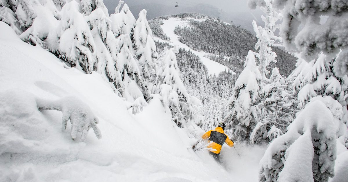
This one looks huge...
Of course it comes on a holiday...when ill be teaching on..the bunny hill.
Tomorrow should be good..getting anywhere..not so much.
 

cdskier

Well-known member
Joined
Mar 26, 2015
Messages
6,800
Points
113
Location
NJ
tropicaltidbits.com, you can play with models to your hearts content

ive been running the GFS euro and canadian maps and snowfall totals obsessively

I didn't realize that tropical tidbits had more of the Euro panels now. Still missing snowfall totals though. Pivotal Weather has that one for the Euro, but I don't like their site (just seems much slower than tropical tidbits to me).
 

JimG.

Moderator
Staff member
Moderator
Joined
Oct 29, 2004
Messages
12,132
Points
113
Location
Hopewell Jct., NY
I miss the old weather forum with competing models and snowporn maps. The overnight model runs must have changed significantly for the better, as my Weather app is now increased potential snow this weekend from a foot to almost two in N MA / S VT, with snow lasting into Monday. Nuclear! What’s the latest on where the storm will outperform and underperform? I’m supposed to be on the road on Sunday to head up for the whole holiday week and starting to contemplate if it’s smarter to try to leave a day early.
When you go skiing, it's always better to go a day early.
 

slatham

Well-known member
Joined
Sep 17, 2012
Messages
2,572
Points
113
Location
LI/Bromley
Current storm, cold held stronger than modeled. At Brom we had 3-4” then mostly sleet, very little freezing rain, and at 12:30 back to snow. Looks like parts north stayed snow.

Next storm is extremely complex with an upper level low just north of Minnesota a bit too far west and directing more of a SW upper flow into NE which sends in warmer air aloft and a further north storm track. But the dynamics changed a bit overnight and the track shifted slightly south. Now at 12z GFS way further north so all of VT mixes. Canadian has mix line at Stratton. Euro and NAM in the middle. It’s a tough one to nail down and will continue to fluctuate. But the further north you go, the higher the odds of all snow. Definitely a pattern for Tremblant!
 

MidnightJester

Well-known member
Joined
Oct 7, 2011
Messages
1,015
Points
83
THE NORTHEAST AND VERMONT SPECIALLY ARE HAVING RECORD SNOW NUMBERS THIS YEAR.

After a break on Friday, all eyes are on a bigger Nor’easter that has the potential to bring up to a foot or more of snow on Saturday into Sunday.
The additional snow comes as the region is already experiencing one of the snowiest winters in years. Mount Mansfield yesterday reported a total of over 82 inches of snow at the stake -- nearly two feet above normal.
RECORD SEASON IN THE MAKING
Snowfall
Last 24 Hours 5 " - 6 "
Last 48 Hours 10 "
Last 7 Days 38 "

Season Total 299
In the 2021–2022 season, 273 inches of snow.
In the 2022–2023 season, 324 inches of snow.
In the 2023–2024 season, 297 inches of snow.
 
Last edited:

ColdRain&Snow

Active member
Joined
Nov 28, 2021
Messages
347
Points
43
Location
New England
Current storm, cold held stronger than modeled. At Brom we had 3-4” then mostly sleet, very little freezing rain, and at 12:30 back to snow. Looks like parts north stayed snow.

Next storm is extremely complex with an upper level low just north of Minnesota a bit too far west and directing more of a SW upper flow into NE which sends in warmer air aloft and a further north storm track. But the dynamics changed a bit overnight and the track shifted slightly south. Now at 12z GFS way further north so all of VT mixes. Canadian has mix line at Stratton. Euro and NAM in the middle. It’s a tough one to nail down and will continue to fluctuate. But the further north you go, the higher the odds of all snow. Definitely a pattern for Tremblant!

Route 30 to Brattleboro was white knuckle drive this morning :confused:
 

Abominable

Active member
Joined
Jan 18, 2013
Messages
497
Points
28
When you go skiing, it's always better to go a day early.

Thanks for the snow porn and the direction to tropical tidbits Krusty. A lot of people on this board have flexibility to really get after it, and I remember those days of overnight trips, sleeping in parking lots, driving four hours too ski three, fondly. However, I’m in the phase of my life where I have three kids, aged 3 to 7 on the slopes, scheduling around work and school and sports and birthday parties - I’m not the ski bum I once was. Even something as simple as leaving a day early is next to impossible, and first chair is a pipe dream. I’ll have to live vicariously through you guys.

But I appreciate the stoke!
 

KustyTheKlown

Well-known member
Joined
Mar 1, 2013
Messages
5,895
Points
113
Location
Brooklyn
right on. im talking more about the safety for you and your family. driving sunday looks well fucked. dangerous. impassable?
 

Abominable

Active member
Joined
Jan 18, 2013
Messages
497
Points
28
That’s kind of why I posted, trying to get an idea of how realistic that 12”+ is for the Berkshires because if I do have to make alternate plans it’s a massive logistical operation. I guess it all depends on where the rain snow line is, but if I had to guess right now I’m betting it’ll be mixed precipitation anywhere south of Catamount and leaving early on Sunday. I should avoid the worst of it if I’m shacked up by 2 o’clock.

Gonna be at Berkshire East all week and hoping the storm opens up all the trees.
 

BenedictGomez

Well-known member
Joined
Jan 26, 2011
Messages
12,674
Points
113
Location
Wasatch Back
Thanks for the snow porn and the direction to tropical tidbits Krusty.
pivotalweather.com is also a good one.

For a storm like this one though where the temps can be an issue, you cant just look at the "snow" output, because depending on the air column temperature layering, some of the "snow" could be sleet or rain. So you need to marry the individual snow maps by time panels, and then with the individual 850mb level maps to get a sense of what's going to happen relatively close to the ground level. Conversely, if you know it's going to be like 22 degrees before, during, and right after the storm passes, that's not a concern.
 

JimG.

Moderator
Staff member
Moderator
Joined
Oct 29, 2004
Messages
12,132
Points
113
Location
Hopewell Jct., NY
Thanks for the snow porn and the direction to tropical tidbits Krusty. A lot of people on this board have flexibility to really get after it, and I remember those days of overnight trips, sleeping in parking lots, driving four hours too ski three, fondly. However, I’m in the phase of my life where I have three kids, aged 3 to 7 on the slopes, scheduling around work and school and sports and birthday parties - I’m not the ski bum I once was. Even something as simple as leaving a day early is next to impossible, and first chair is a pipe dream. I’ll have to live vicariously through you guys.

But I appreciate the stoke!
Been there; I have 3 boys. All grown up now.

Enjoy these days to the utmost they will be on their own before you know it and then your inner ski bum will reappear.
 
Top