• Welcome to AlpineZone, the largest online community of skiers and snowboarders in the Northeast!

    You may have to REGISTER before you can post. Registering is FREE, gets rid of the majority of advertisements, and lets you participate in giveaways and other AlpineZone events!

First Snowfalls, Upcoming weather and Storms of winter 2024-2025. Storm (snow totals), Observations and Predictions?

thebigo

Well-known member
Joined
May 15, 2005
Messages
1,961
Points
113
Location
NH seacoast
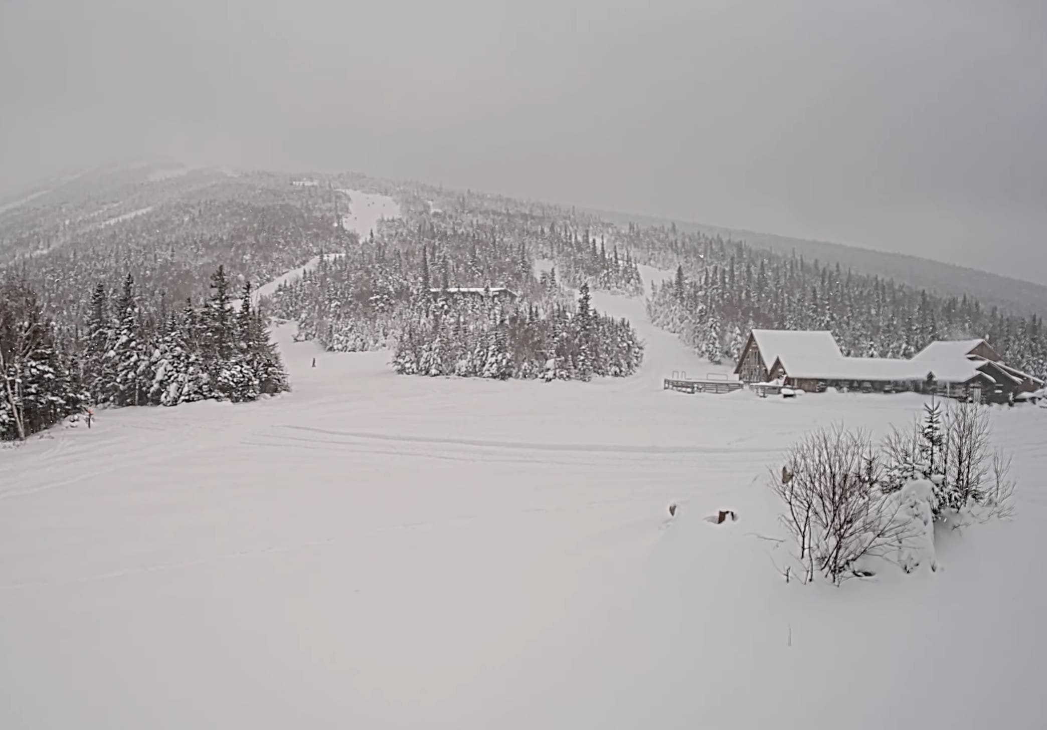
Accumulation approaching an inch in franconia nh, elevation 1250'.
 

Attachments

  • 20241128_101233.jpg
    20241128_101233.jpg
    1.1 MB · Views: 2

slatham

Well-known member
Joined
Sep 17, 2012
Messages
2,500
Points
113
Location
LI/Bromley
2,300’ at Bromley 10:40am 4” and S+ at 30.4 degrees. NWS shifting the higher peaks to 12-18” does NOT mean they expect 18”, just confident more than 12”. This is a fast mover so I don’t think it has 18” in it, other than a rare spot that gets under a pivoting band which is impossible to forecast.
 
Last edited:

NYDB

Well-known member
Joined
Jan 13, 2016
Messages
1,756
Points
113
Location
Southeast NY /Southern VT
NWS shifting the higher peaks to 12-18” does NOT mean they expect 18”, just confident more than 12”. This is a fast mover so I don’t think it has 18” in it, other than a rare spot that gets under a pivoting band which is impossible to forecast.
Killington reporting 21".

Gotta be 18"+ at stratton with magic reporting 16" at peak.

I know you fancy yourself as some kinda weather forecasting expert and actually pay for a service so thanks for explaining to me what 12-18 means on a forecast map
 

slatham

Well-known member
Joined
Sep 17, 2012
Messages
2,500
Points
113
Location
LI/Bromley
Ha happy to be wrong on the low side. 14” here and it was deeper up top when I skinned so yeah 18” at the peaks. If you don’t like the weather commentary I’ll keep it to myself.
 

MidnightJester

Active member
Joined
Oct 7, 2011
Messages
937
Points
43
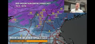
Things are looking up for Northeastern skiers & riders, with healthy recent snowfall and more on the way.
Cold and unsettled weather continues this week.
Pow skiing potential peaks on Thursday, but decent conditions should last into the weekend.
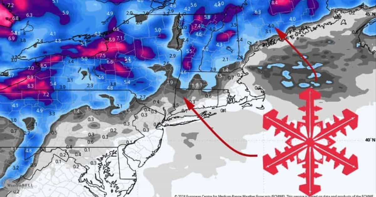
By Friday morning, expect storm totals something like this:
  • 5-8″ for most Vermont resorts. 9-14″ for Jay Peak, 7-11″ for Stratton & Bromley (lake effect enhances totals)
  • 3-6″ for New Hampshire resorts
  • 5-9″ for the bigger Maine Resorts
  • 4-7″ for Whiteface & Gore
  • 1-3″ for Catskill resorts


1000002193.jpg
6:52 starts the Northeast
 
Last edited:
Top