kingslug
Well-known member
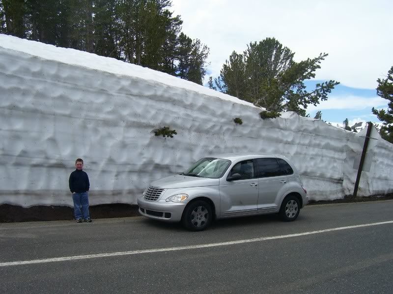
California, the place to be...a few days from now!!!!!!!!!!!!!!!
Friday
Jan 04, 2008
Hi 33°f / 26°f (base/top)
Lo 24°f / 18°f (base/top)
Sky Condition:
Cloudy with snowfall becoming heavy (if it isn't already), extremely heavy this afternoon and through tonight. Snow levels should be near 6,500 feet or lower, dropping to 3,500 feet tonight. Blowing and drifting snow is expected as winds reach storm strength, and hurricane strength across the higher ridges and peaks.
Precipitation:
Epic heavy snow.
Snow Potential
50 to 58 inches of accumulation.
Wind:
S/ SW at 25 - 45 gusts to 65mph (gusts to 100+mph above 9,000 feet).
Saturday
Jan 05, 2008
Hi 24°f / 15°f (base/top)
Lo 14°f / 7°f (base/top)
Sky Condition:
Cloudy and colder with winds still strong but dropping off a bit, and snowfall continuing. More heavy totals are expected. Snow levels run near 3,500 feet.
Precipitation:
Snow likely.
Snow Potential
16 to 22 inches of accumulation.
Wind:
SW at 20 - 30 gusts to 45mph (gusts to 75mph above 9,000 feet).
Sunday
Jan 06, 2008
Hi 19°f / 10°f (base/top)
Lo 10°f / 4°f (base/top)
Sky Condition:
Mostly cloudy and much colder, with snow levels dropping to around 2,000 feet or lower. Moderate or heavy snow showers are expected through the day, lighter overnight.
Precipitation:
Snow likely.
Snow Potential
12 to 16 inches of accumulation.
Wind:
SW at 15 - 25 gusts to 40mph (gusts to 60mph above 9,000 feet).
Monday
Jan 07, 2008
Hi 19°f / 10°f (base/top)
Lo 8°f / 2°f (base/top)
Sky Condition:
After some light snow early (snow level near 2,000 feet), clearing to partly cloudy and cold.
Precipitation:
Snow showers end early.
Snow Potential
No additional accumulation.
Wind:
Becoming NW at 10 - 20mph (gusts to 35mph above 9,000 feet).
Tuesday
Jan 08, 2008
Hi 33°f / 25°f (base/top)
Lo 25°f / 19°f (base/top)
Sky Condition:
Becoming cloudy with moderate to heavy snow showers, and strong winds. Snow levels should rise to near 6,000 feet, dropping overnight.
Precipitation:
50% chance for snow.
Snow Potential
12 to 18 inches of accumulation.
Wind:
S/ SW at 25 - 40 gusts to 55mph (gusts to 75mph above 9,000 feet).
Wednesday
Jan 09, 2008
Hi 28°f / 18°f (base/top)
Lo 19°f / 12°f (base/top)
Sky Condition:
Snow showers clear out early, then skies clear to partly cloudy with chilly temperatures.
Precipitation:
20% chance for snow showers early.
Snow Potential
No additional accumulation.
Wind:
Becoming NW at 5 - 15 gusts to 20mph.