drjeff
Well-known member
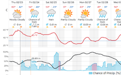
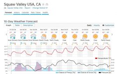
The latest morning/midday model runs still show just a couple of hundredths of precip over most of VT during the day on Saturday. I'm guessing that the mountains may produce a few more showers than modeled, but still think there is a decent chance of no more than a cloudy, misty day with passing showers and soft snow.
I guess the thaw has taken a big toll on the S VT woods? At the beginning of last week, the woods at Mt. Snow were absolutely buried.
From Saturday morning until I left on Tuesday afternoon, on the shady side of my condo, I lost a good 2 feet from the snow drift on my roof, and on the sunny side, I lost probably closer to 3 feet in the big drift I had on my deck and the 6" or so frozen, iced hard packed stuff that was under what I had shoveled through from last weeks storms so I could grill melted out.
The woods on the mountain still had decent coverage as of Tuesday afternoon. That's before the warmth of the next 4 days hits though......


