A good article and picture of the work:
http://caledonianrecord.com/main.asp?SectionID=180&SubSectionID=778&ArticleID=68218
http://caledonianrecord.com/main.asp?SectionID=180&SubSectionID=778&ArticleID=68218
Welcome to AlpineZone, the largest online community of skiers and snowboarders in the Northeast!
You may have to REGISTER before you can post. Registering is FREE, gets rid of the majority of advertisements, and lets you participate in giveaways and other AlpineZone events!
A good article and picture of the work:
http://caledonianrecord.com/main.asp?SectionID=180&SubSectionID=778&ArticleID=68218
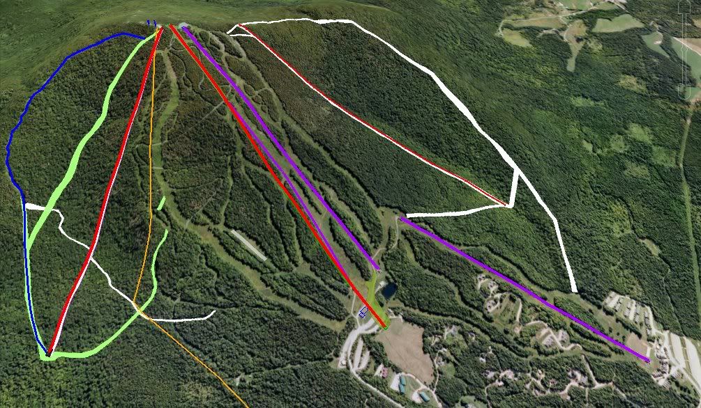
Oops, not quite so good article. At least four of those trails were not "cut" but were already there and are just being added to the map. I don't count a lift install and then naming a new lift line as "cutting a new trail".The resort has also cut five new trails and glades for intermediate and expert skiers including a terrain park trail.
The lift line is manicured in places but other spots need some serious help.
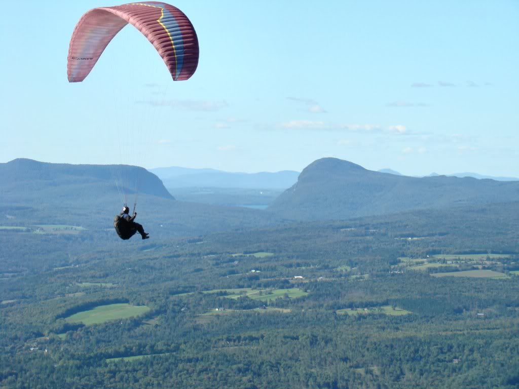
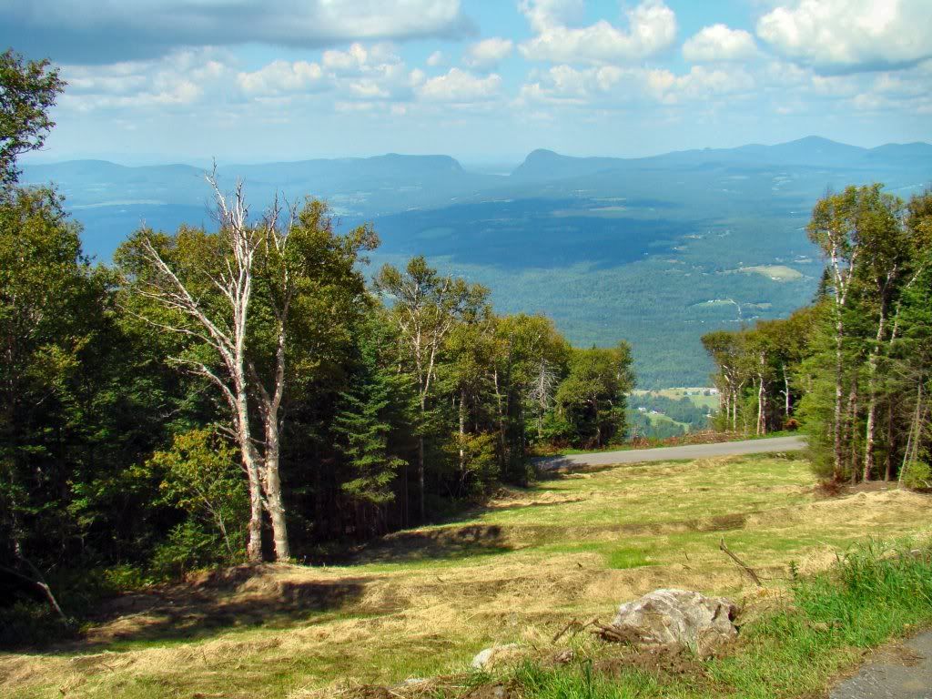
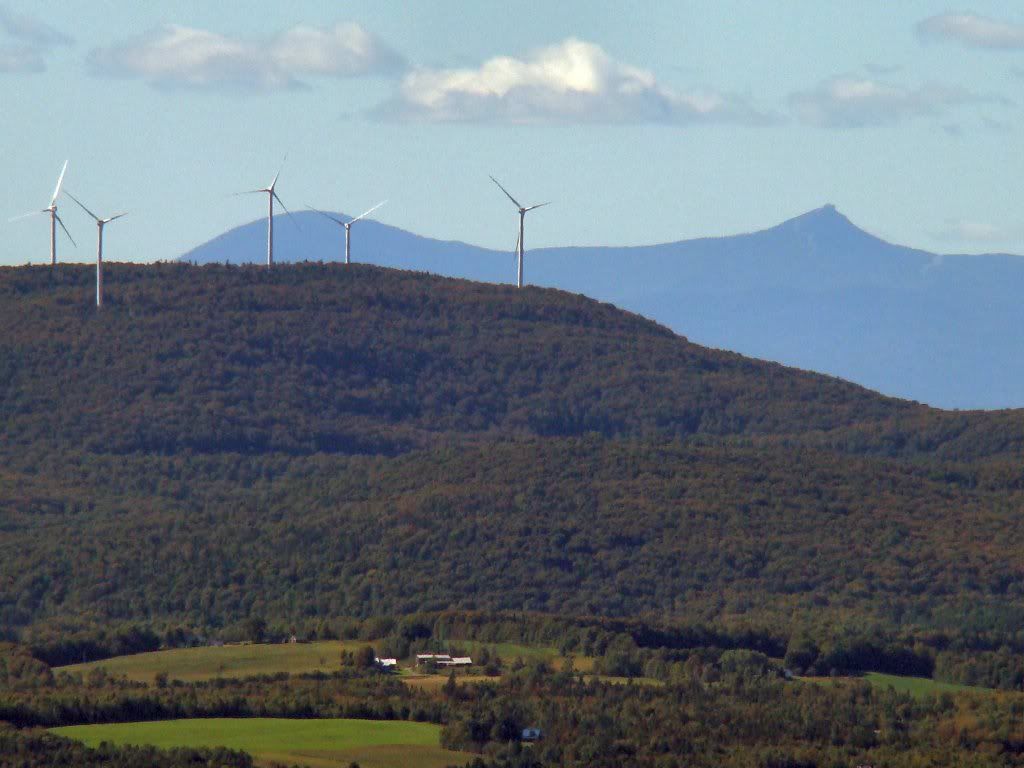
Lots of work to do and a limited time to get it done! Things might get a little tight if the weather does not cooperate! Here's some pictures!
[/img]
Burke changed the background picture on their website to one that shows the wind turbine and the Willoughby Highlands in the background. However, it is a mirror image so the Mtns on either side of Lake Willoughby are backward :roll:. I can see why some one did it, since due to the layout of the website, the right side has a bunch of stuff in the way so the wind tower wouldn't have been very visible. However, IMO, it looks really silly.
ok, admittedly stupid-lazy question; when looking at Franconia Notch, in what direction is Jay and Stowe (which I should be able to see?). Just want to confidently point them out to my boys...
thx
You mean when looking at Willoughby Gap?
If so, Jay Peak is just to the left. The very upper part of Mount Mansfield is further down the ridge. On a very clear day you can see Camel's Hump, MRG, and Sugarbush (both areas). And if you know where to look and it is really, really clear, you can make out a little bit of Killington. Burke was named by Native Americans to mean "mountain with the long view," or something like that. You can see a loooooonnnnggggg ways in all directions.
ok, admittedly stupid-lazy question; when looking at Franconia Notch, in what direction is Jay and Stowe (which I should be able to see?). Just want to confidently point them out to my boys...
thx


I hope one day to be there when I can just see more than 5 miles. Been 3 times and it was either snowing or socked in.
You mean when looking at Willoughby Gap?
If so, Jay Peak is just to the left. The very upper part of Mount Mansfield is further down the ridge. On a very clear day you can see Camel's Hump, MRG, and Sugarbush (both areas). And if you know where to look and it is really, really clear, you can make out a little bit of Killington. Burke was named by Native Americans to mean "mountain with the long view," or something like that. You can see a loooooonnnnggggg ways in all directions.


You've got a lot of time to play around in google earth, don't you?:beer:
I've done some of these things myself, but not to the extent that you have.