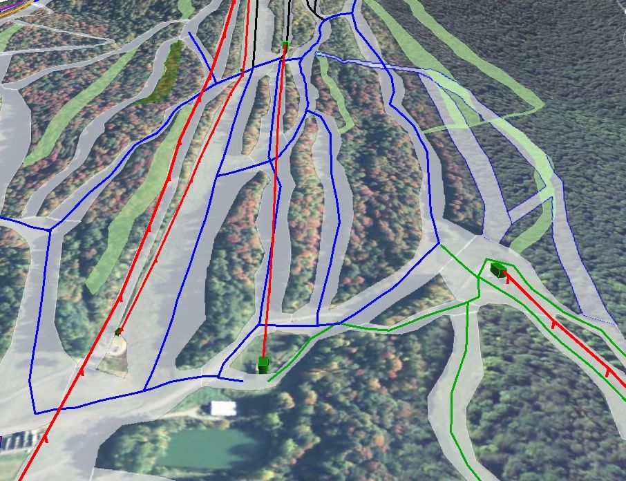
Here is a re-post from Burke's HSQ construction thread ( http://forums.alpinezone.com/showth...-and-Other-Improvements/page4?highlight=burke ). It is a little dated but I haven't had time to rebuild everything in Google Earth since my computer crashed while back:
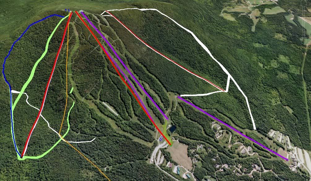
I've also been messing around in Google Earth with what Burke would look like at full lift buildout (assuming the West Bowl is built out 50 years from now).
The Purple lines are exisiting lifts.
Green and white polygons are where I would put trails (if I had too). Ignore the skinny white one that cuts across the East Bowl lift, it's the current East Bowl runout trail.
The Red lines are lifts that haven't been built yet. From left to right they are:
East Bowl lift (planned) - 1400 ft vert
Mid-Burke Express (under construction) - 1565 ft vert
West Peak lift (theoretical) - 1565 ft vert (the top 700 ft avg 48% slope [compare to the top 700 ft section of the Castlerock liftline is 44% :grin:]).


----Discuss-----
Thumbs up. This has been the plan for several decades.
