Vail has ditched paper maps generally (as the OP pointed out)Jeez. We couldn’t find a map at Stowe, SB or Jay in March last year. Most places only print so many, and when they’re gone, they are gone
-
Welcome to AlpineZone, the largest online community of skiers and snowboarders in the Northeast!
You may have to REGISTER before you can post. Registering is FREE, gets rid of the majority of advertisements, and lets you participate in giveaways and other AlpineZone events!
You are using an out of date browser. It may not display this or other websites correctly.
You should upgrade or use an alternative browser.
You should upgrade or use an alternative browser.
End of paper trail maps?
- Thread starter deadheadskier
- Start date
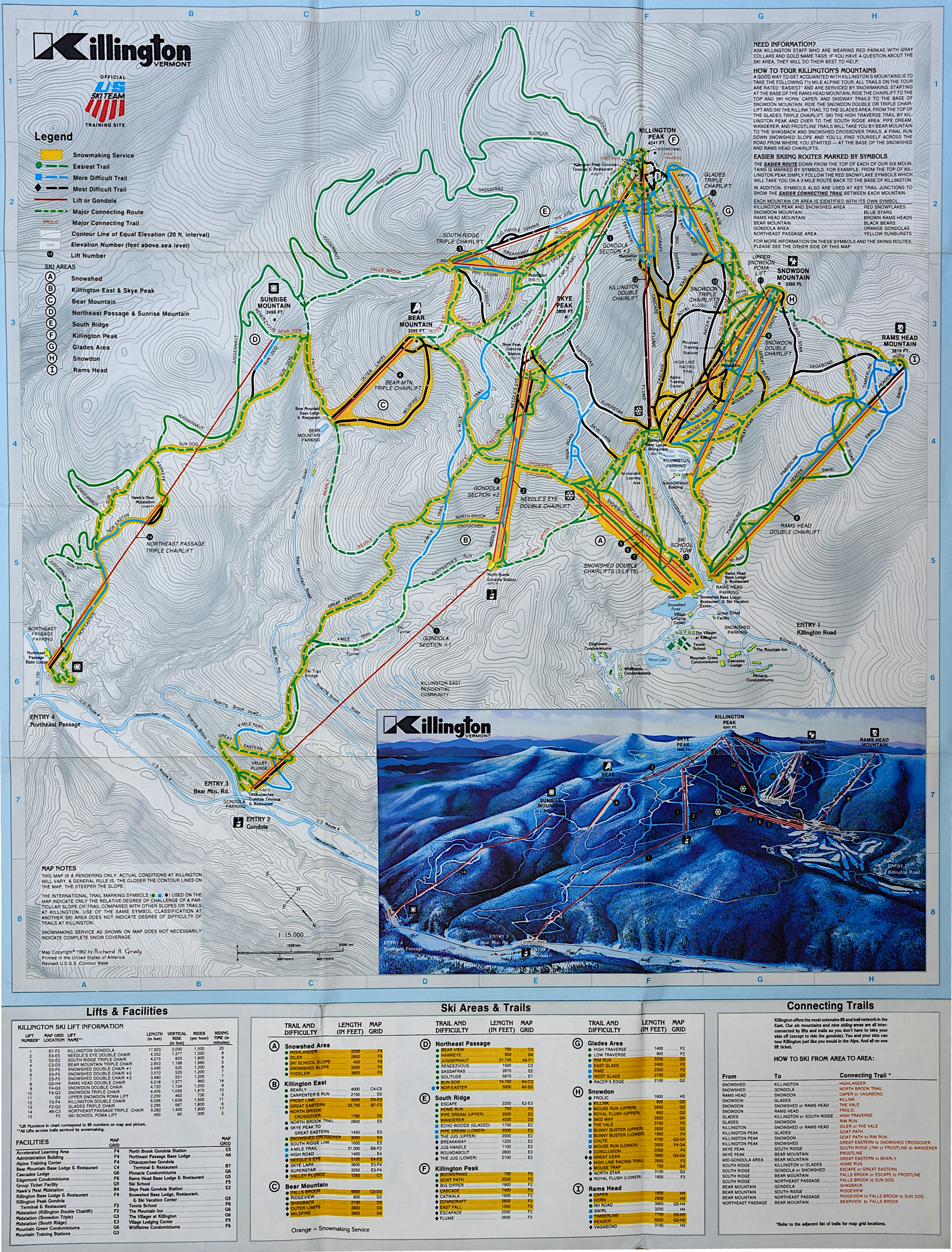
That topographic map is awesomeKillington Map, 1982 (hybrid of topographical WITH a small reference map):

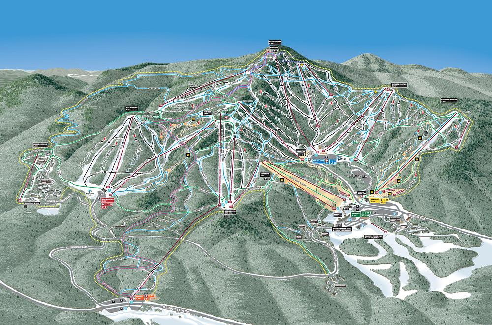
Killington 2022 Map (reference map only)

SOURCE: skimap.org
BodeMiller1
Well-known member
The Sunday River calendar/ trail map was awesome. Good to see kids still like to collect and study them. When you're advancing to blues it opens up more of the mountain. It's fun to see what you skied and will next time. When I started going to K and SR I would keep track of trails I skied by highlighting the trail map. Off topic, but who doesn't collect stickers. Never got into pins, seems to be the older generation & Europe.
urungus
Well-known member
Last season I got paper trail maps at Mt Snow, Okemo, Stowe, and Wildcat.Vail has ditched paper maps generally (as the OP pointed out)
They’re definitely still available but its not in an “in your face” way and you have to search for them now. And even then theres a chance they will be out. Gone are the days of easily available trail maps unfortunately.Last season I got paper trail maps at Mt Snow, Okemo, Stowe, and Wildcat.
Working at Jiminy Peak they make you carry one around and want you to memorize it which in my opinion should be the norm for more places. Personally I enjoy studying trail maps and learning different mountains layouts.
drjeff
Well-known member
And it's not just a ski area thing either, My wife and I were at Disney last week, and while there certainly are paper maps and guides available in the parks, they are definitely in much less quantity than in years past and you are strongly encouraged to use their app on your phone for everything from maps to food and ride reservations to information about park hours to linking photos to your your account, weather updates, ride closure updates, etc.They’re definitely still available but its not in an “in your face” way and you have to search for them now. And even then theres a chance they will be out. Gone are the days of easily available trail maps unfortunately.
Working at Jiminy Peak they make you carry one around and want you to memorize it which in my opinion should be the norm for more places. Personally I enjoy studying trail maps and learning different mountains layouts.
I can see the benefit from less paper products. I will also say that as my vision changes in my 50's now, I do also like the ease of a LARGER sized map that paper provides vs having to use the screen on my phone (especially with polarized sun glasses on in bright light!) and try and blow things up so that I can read the map easier
It was also scary at times to see the "addiction" at times that so many (and not just younger folks) have to their phones as they were just walking around staring at them non stop, almost walking into numerous people and just failing to take in the views. Some of that is a fault of the park itself and making so much of the current reservation system, which can certainly affect your experience in the park that day, dependent on the information, and at times, precise moment you need to be on their app when new ride reservations times open up, and some of that it a direct result of folks wanting to get the dopamine rush that social media interaction can provide them, and others it's just being addicted to their current game/streaming video site of the moment. Kind of like the folks we see on the hill or in the lift line queues trying to get the perfect selfie to post......
ceo
Active member
- Joined
- Apr 1, 2009
- Messages
- 437
- Points
- 28
I don't think I've seen a topographic trail map since that 1982 Killington map. Which was and is awesome, although one issue with topos is that they make steep slopes look shorter than they are.
Similar threads
- Replies
- 2
- Views
- 3K
- Replies
- 13
- Views
- 6K
- Replies
- 81
- Views
- 28K
- Replies
- 11
- Views
- 5K