billski
Active member
Date(s) Hiked:June 25, 2010
Trails(s) Hiked: Generally Unnamed across Rose-Lyndeborough Mts and The Pinnacle, Location: Lyndeborough, NH
Total Distance: 4.7 miles round trip
Difficulty:Easy to Medium-Easy (it's not flat!)
Conditions: Dry and clear
Special Required Equipment: Bug Dope
Trip Report:
Trailhead is off Mountain Road, about 1.9 miles from the southerly intersection with Crooked Road.
It sure would serve me well to read the rest of the hike-nh.com thread above for the Trailhead location. Regardless, the drive up and down Mountain Road is, in itself a wonderful drive. If only my folks were alive, they would love to drive this road in the fall. Or anyone with a Lamborgini...
The road is peaceful, bucolic and scenic. It rolls, turns and frolics its way between many "for sale" signs. There are some beautiful farms for sale there. Lyndeborough town center can best be described as "lonely". I also envision a long a slow snowy day commute to work should one be so inclined. Snowmobiles look to be a better mode of transit in the winter. But in the warm months, freedom prevails, and so I wander.
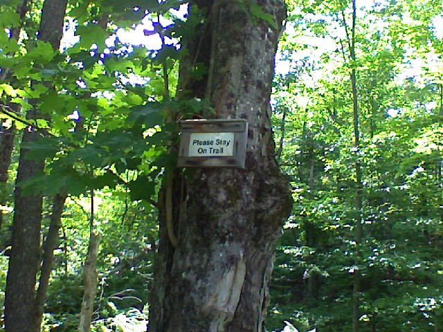
The trailhead was marked, or was it? Does it have a name? Well, the sign admonition will do as a trailhead marker.
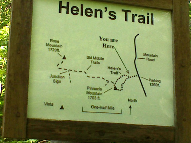
I snapped a photo of the "trail map", posted at the 0.3 mile point to give you an orientation (Al's slide show moves a bit too fast for me!)
I have GPS track which I will post later - domestic duties summon my Sunday hours.
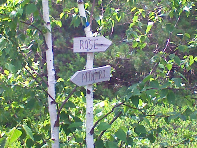
The trail is generally clear and well maintained. I became a bit confused about what the rectangular white and yellow plastic trail blazes were for, as they seemed to go up and down all sides of the mountains. Perhaps they are for snowmobiles? If so, why the "no motorized vehicle" signs on the Mountain road side of the hills. The "destination" signs were more helpful and a delight in their home-made-ness.
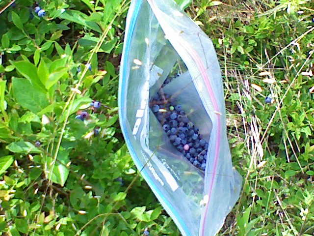
At The Pinnacle, I was startled by all the ripe blueberries. Everything in nature is about two weeks ahead this year. Well, I had to pick them. since when I was 8 I went picking with my family and with my back turned, the dog ate everything I had picked!
It was a hazy day, temps in the mid 80s.
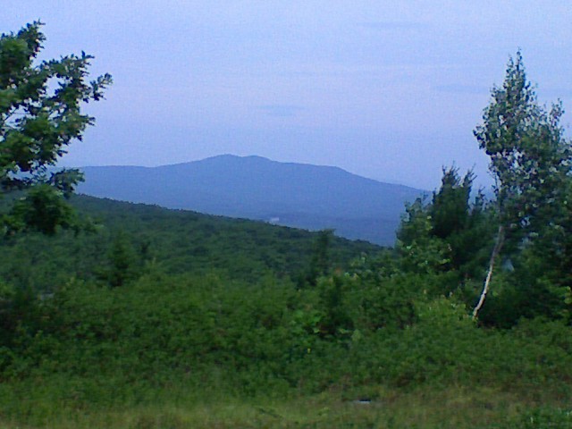
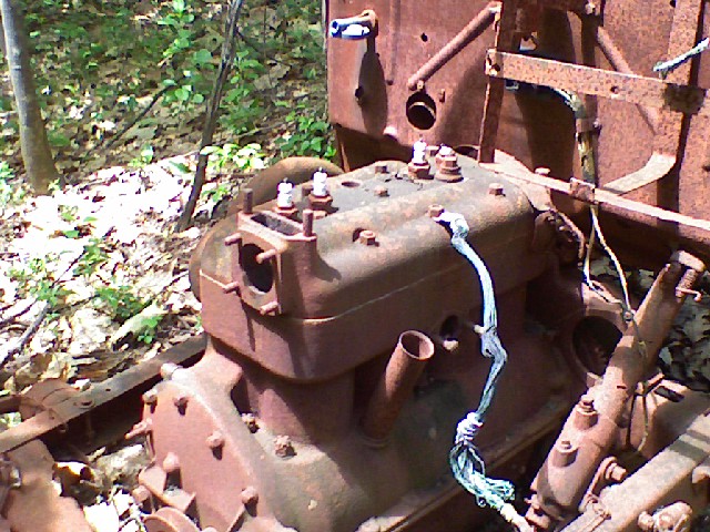
the old car near the summit of Rose was stripped of most things, but four spark plugs were intact.
Watch out for the ticks, two of them went for a ride on me. The grass is high and dry already. Don't forget bug dope on you legs and pants openings!
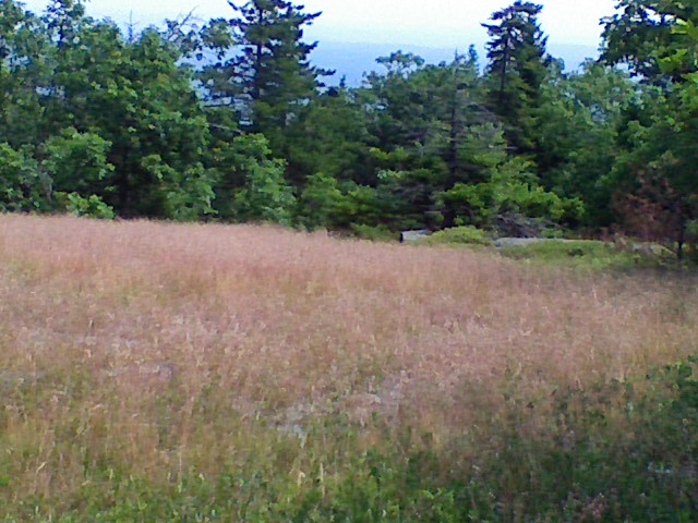
The gnats became quite bothersome, so much so that I yielded to the head/hat net that I have.
The ice storm made it this far north and much was noted (trees broken halfway up is the hallmark). On the way down, I did a small amount of cutting of branches where downfall blocked the trail route. "Helen trail" had the vast majority of downfall. In clearing Mass. State forests, I noted that much of the downfall occured on one or two sides of a hill, not all, and this appeared to be the case.
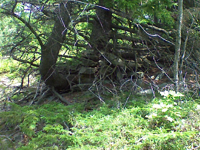
Carin building seems to be an interesting past-time here. Also, primitive fireplaces are found on the peaks as well.
In this one case, built some time ago, a tree grew up around it on the peak. No, this is not a stone wall.
The trail was wonderful. Name-brand mountains are overrated. Here, as Al says, you can have a wonderful talk with yourself. It is peace and quiet - no grind of the highway, no litter or noise other than the birds singing out their delight.
Trails(s) Hiked: Generally Unnamed across Rose-Lyndeborough Mts and The Pinnacle, Location: Lyndeborough, NH
Total Distance: 4.7 miles round trip
Difficulty:Easy to Medium-Easy (it's not flat!)
Conditions: Dry and clear
Special Required Equipment: Bug Dope
Trip Report:
Trailhead is off Mountain Road, about 1.9 miles from the southerly intersection with Crooked Road.
It sure would serve me well to read the rest of the hike-nh.com thread above for the Trailhead location. Regardless, the drive up and down Mountain Road is, in itself a wonderful drive. If only my folks were alive, they would love to drive this road in the fall. Or anyone with a Lamborgini...
The road is peaceful, bucolic and scenic. It rolls, turns and frolics its way between many "for sale" signs. There are some beautiful farms for sale there. Lyndeborough town center can best be described as "lonely". I also envision a long a slow snowy day commute to work should one be so inclined. Snowmobiles look to be a better mode of transit in the winter. But in the warm months, freedom prevails, and so I wander.
The trailhead was marked, or was it? Does it have a name? Well, the sign admonition will do as a trailhead marker.

I snapped a photo of the "trail map", posted at the 0.3 mile point to give you an orientation (Al's slide show moves a bit too fast for me!)

I have GPS track which I will post later - domestic duties summon my Sunday hours.
The trail is generally clear and well maintained. I became a bit confused about what the rectangular white and yellow plastic trail blazes were for, as they seemed to go up and down all sides of the mountains. Perhaps they are for snowmobiles? If so, why the "no motorized vehicle" signs on the Mountain road side of the hills. The "destination" signs were more helpful and a delight in their home-made-ness.

At The Pinnacle, I was startled by all the ripe blueberries. Everything in nature is about two weeks ahead this year. Well, I had to pick them. since when I was 8 I went picking with my family and with my back turned, the dog ate everything I had picked!

It was a hazy day, temps in the mid 80s.

the old car near the summit of Rose was stripped of most things, but four spark plugs were intact.

Watch out for the ticks, two of them went for a ride on me. The grass is high and dry already. Don't forget bug dope on you legs and pants openings!

The gnats became quite bothersome, so much so that I yielded to the head/hat net that I have.
The ice storm made it this far north and much was noted (trees broken halfway up is the hallmark). On the way down, I did a small amount of cutting of branches where downfall blocked the trail route. "Helen trail" had the vast majority of downfall. In clearing Mass. State forests, I noted that much of the downfall occured on one or two sides of a hill, not all, and this appeared to be the case.
Carin building seems to be an interesting past-time here. Also, primitive fireplaces are found on the peaks as well.
In this one case, built some time ago, a tree grew up around it on the peak. No, this is not a stone wall.

The trail was wonderful. Name-brand mountains are overrated. Here, as Al says, you can have a wonderful talk with yourself. It is peace and quiet - no grind of the highway, no litter or noise other than the birds singing out their delight.