• Welcome to AlpineZone, the largest online community of skiers and snowboarders in the Northeast!

    You may have to REGISTER before you can post. Registering is FREE, gets rid of the majority of advertisements, and lets you participate in giveaways and other AlpineZone events!

True Mountain Height

Frank101

New member
Joined
Jan 3, 2010
Messages
27
Points
0
Hey,

Well I'm not sure where to post this so I figured I'd do it here.

It may seem like a dumb question but I am still a little confused. When people talk of a mountain's height, mostly they are talking in relation to sea level. (i.e. Vail mountain is 11570 feet elevation above sea level total) with a low level base elevation of 8120 feet above sea level and therefore it's vertical is 3450 feet.

My question is this, if you take another mountain and lets just use random figures. Let's say it's elevation is 6000 feet and it's base is 1500 feet and a vertical of 4500 feet, that would seem to mean that the mountain itself is bigger?

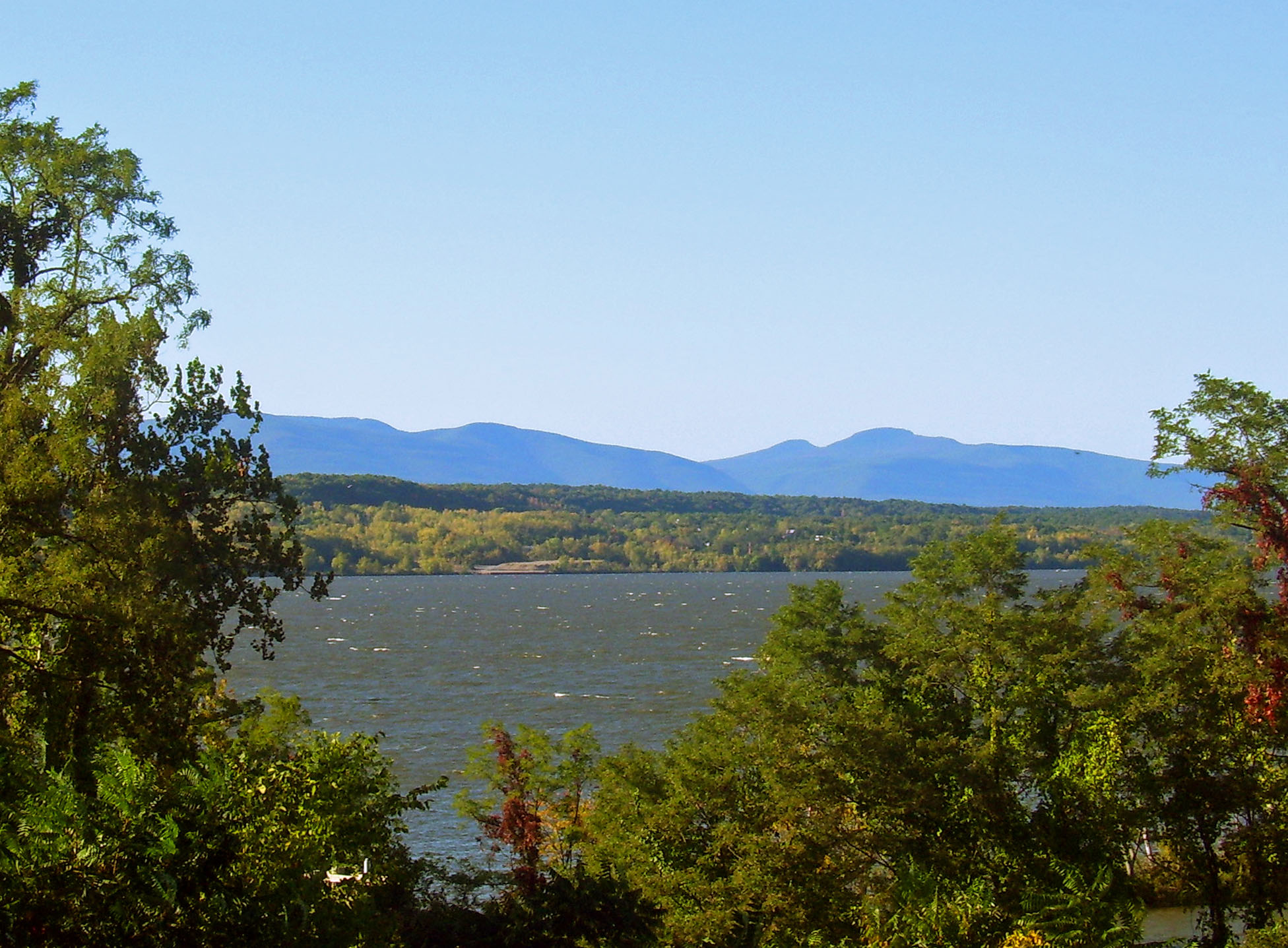
I'm not trying to look at it from a ski perspective, but more from just a general perspective because this past summer I took a drive through the white mountains and I could swear they seemed more prominent and bigger in size than some of the rockies I've seen out west in Alberta/B.C.

Anyway, just trying to clear it up.

Thanks
 

wa-loaf

Well-known member
Joined
Jan 7, 2007
Messages
15,109
Points
48
Location
Mordor
That's why all ski areas advertise their vert.

The White's look taller because they are pretty steep, the vert on the bigger ones is about 3,500 feet valley to peak. More for Mt Washington.
 

deadheadskier

Moderator
Staff member
Moderator
Joined
Mar 6, 2005
Messages
28,596
Points
113
Location
Southeast NH
vert is what matters.

West Virginia has many mountains over 4K feet, but they certainly don't feel that big. Snowshoe where I lived was 4848. max skiing vert was 1500
 

jerryg

Member
Joined
Aug 12, 2006
Messages
757
Points
16
It is an interesting point that he brings up. I mean the vert from Franconia Parkway to the top of Lafayette must be HUGE. Those mountains really do look a lot big and I agree that the relative steepness is a big factor. Take Vail, for example; the vert may be 3500 +/- but if you are at Lionshead and look towards the summit, the terrain is pretty moderate and therefore the summit itself it actually further away than it would be if the terrain leading up to it was 45 degree steep.
...Makes sense to me, but I don't know if it makes sense.

Mt. Washington has huge vert regardless of the road you look up at. (4500 in some places) If it were a ski resort, it could easily be one of the largest in the country. If....
 
Last edited:

Frank101

New member
Joined
Jan 3, 2010
Messages
27
Points
0
I'm really glad you guys are finding this interesting because I thought I would just be laughed at.
 

Mapnut

New member
Joined
Sep 21, 2006
Messages
644
Points
0
Location
Connecticut
A friend of mine who hikes a lot in the White Mountains likes to tell the story of a Western friend who used to pooh-pooh the Appalachians - "Yeah, you have some pretty hills over there." Then he came east one time, and my friend took him hiking. Somewhere in Crawford Notch, I think it was. After the Western friend had done about 2000 vertical feet, and was puffing pretty good with the summit nowhere in sight, he admitted, "Umm, nice mountains you got here."
 

ski_resort_observer

Active member
Joined
Dec 26, 2004
Messages
3,423
Points
38
Location
Waitsfield,Vt
Website
www.firstlightphotographics.com
The Blacks in western NC is the tallest mountain range in the east topping out at nearly 6800 ft but have smaller verts than the northeast. JH has a vert of around 4340 but Rendezvous Peak isn't much taller than 10,000.

Most of the tallest mountains in any mountain range in the USA do not have a ski resort/area although Mt Mansfield/Stowe is one exception with the top of the lifts not at the summit. If Mt. Washington had a ski resort from the summit all the way down to Pinkham Notch it would have one of biggest verts in the country. Think of the windholds on that one tho. :lol:
 

ta&idaho

New member
Joined
Dec 11, 2006
Messages
639
Points
0
Location
Washington, DC
There are some impressive mountains in the Northeast, but let's not get too carried away:
[T]here are a total of 1,238 summits in the Lower 48 with 2,000' or greater prominence, including the "error range" peaks. 93% of these (1,151) are in the 12 western states. The Eastern U.S. boasts 81 of the P2000 summits. The Central U.S. has two P2000 summits.
http://www.peaklist.org/USlists/USP2000.html


Some additional details from that (really cool) website:
  • California (167), Idaho (98 ), Montana (146), Nevada (172), Utah (82), and Washington (148 ) each have more P2000 summits than all of the Eastern U.S. combined (81, which happens to be the same amount as Colorado).
  • There are 61 P5000 summits (5,000' or greater prominence) in the West. There are 2 in the East.
  • Using a different measure of peak prominence, which factors in both steepness and vertical, none of the top twenty peaks are in the East (http://www.peaklist.org/spire/lists/contig-20.html).

Simply put, the Appalachian Mountains are geologically much older than the Rocky Mountains. Like fine wine and internet forum posters, mountains tend to become more mellow with age. :wink:
 

UVSHTSTRM

New member
Joined
Sep 3, 2009
Messages
879
Points
0
I noticed that when I was out west (colorado) that the moutains didnt' seem as big at first glance cuz most of them seem to go back further as in you really don't see the true size of the mountain until you take a lift get to the top and realize the mountain keeps going back further ie back bowls, etc. Where as in the East usually when your at the bottom of a resort, mountain you can see the whole thing. However when driving through the rather flat parts of southern colorado and looking north and west the mountains looked very impressive, much more so then here in the east. Can't remember which ones they were.........I called them the ivy league mountains cuz several of them were named after ivy league colleges. However once I started heading north from durango and hit Red Mountain pass they didn't for obvious reason....we were at 9000ft and the mountains were in the 11 to 12000 ft range, thus only 3000ft of vert.
 

catskills

Active member
Joined
Dec 26, 2004
Messages
1,345
Points
38
Your on a boat on the Hudson River (about 100 feet above sea level) and you look up at the Catskill mountains which rise up 4200 feet and 4050 feet. Now your at Jackson Hole, Wy elevation 6,500 where the Tetons rise up 11,000 to 13,000 feet. The Tetons don't seem to be that much higher than the Catskills mountains.

Now if you could see Mt Whitney 14,494 feet from Death Valley negative 282 feet that would be impressive.
Highs and Lows by State
 
Last edited:

ta&idaho

New member
Joined
Dec 11, 2006
Messages
639
Points
0
Location
Washington, DC
Your on a boat on the Hudson River (about 100 feet above sea level) and you look up at the Catskill mountains which rise up 4200 feet and 4050 feet. Now your at Jackson Hole, Wy elevation 6,500 where the Tetons rise up 11,000 to 13,000 feet. The Tetons don't seem to be that much higher than the Catskills mountains.

Really?

Catskills_beyond_Hudson.jpg


vs.

Jackson-Hole-River-I-40.jpg
 

dropKickMurphy

New member
Joined
Jan 5, 2006
Messages
213
Points
0

Exactly.

There seem to be a few different methods out there to put a ranking of how big a mountain seems. In general, they involve overall height, base to summit vert, the height of other peaks in the vicinity.

Some of these methods do a pretty decent job. But they're not perfect.

There are a lot of factors in determining how big...or how impressive...a mountain appears.The importance of these factors may vary from person to person; which means there is a certain amount of subjectivity inherent in these types of ranking.

To me, the terrain of the mountain is a major factor in how big it seems. Mountains with with a lot of open alpine terrain, and mountains with sharp, rugged features just have more WOW! factor than rounded mountains covered in trees.

While the Tetons do have a greater base to peak vert than the Catskills, I believe it's the dramatic features of the terrain that makes them absolutely breathtaking.

Latitude does make a difference. The further North you go, the more alpine zone and glaciated features you tend to encounter. To me, the Tetons, as well as the peaks in Glacier NP feel bigger than many higher peaks in Colorado.

In the East, there are only 2 mountains that feel big to me. Washington and Katahdin. Seeing Washington from Bretton Woods or Wildcat, it is one impressive sight.

But, although it can't match Washington's sheer vert, Katahdin is (to me) the most impressive mountain in the East. Part of this is its remoteness. There is no auto road, no cog railway, no weather station, no gift shop on the mountain. There are no tourist towns anywhere near it. From the summit, on a clear day, the view is one of endless forest and countless lakes and ponds.

On the approach to Baxter SP from Millinocket, the view of Katahdin from the painted rock presents a real "Holy S**T!" moment. A huge, broad, rugged granite monolith lording over the surrounding forests like Kilimanjaro commanding the Serengeti.

Overall, Katahdin looks and feels more rugged, its features sharper and more impressive than the more rounded Washington.

There are a lot of dramatic views of Katahdin, but most of them are not easy to get to. One of the best is the one from the summit of South Turner, a fairly easy hike from Roaring Brook. This viewpoint looks directly into the impressive cirques (or basins) along the east flank of Katahdin. It is similar to the view of Washington (and Tuckerman) you get sking at Wildcat...but (to me) steeper, more rugged, more dramatic. Standing here, or at Chimney Pond, or on the Knife Edge, or on Hamlin Ridge, or at Davis Pond in the NW Basin....it 's very easy to forget that you are in the eastern US.
 

deadheadskier

Moderator
Staff member
Moderator
Joined
Mar 6, 2005
Messages
28,596
Points
113
Location
Southeast NH
But, although it can't match Washington's sheer vert, Katahdin is (to me) the most impressive mountain in the East.

I'm not certain about this, but I thought I've read that Katahdin actually has a greater vertical rise from its base than Washington.
 

Riverskier

Active member
Joined
Apr 20, 2009
Messages
1,105
Points
38
Location
New Gloucester, ME
I don't have the numbers, but having hiked both. I'd have to say no.

No stats, but I thought I had heard the same things as DHS. Did you find Washington harder, or did it just seem like you gained more vertical? I have heard Katahdin is a much longer, harder, and an overall more challenging climb than Washington, but I have no first hand knowledge as I haven't hiked either.
 

Telemechanic

Member
Joined
Nov 27, 2007
Messages
218
Points
16
I don't have the numbers, but having hiked both. I'd have to say no.

I'd say it depends on where you start your hike how close the vertical climb will be but MT W wins the battle of two popular direct routes:

Katahdin Stream Campground to Baxter Peak via the Hunt Trail (A.T.): 4198' in 5.2 miles

Pinkham Notch to Mt Washington via the Tuckerman Ravine Trail: 4238' in 4.8 miles

and also the battle of Greatest Possible Vertical by Trail (I believe)

U.S. 302 to Mt W via the A.T.: 5013' in 12.5 miles

West Branch Penobscot River (Abol Bridge) to Mt K via the A.T.: 4680' in 15.1 miles

Personally I think the Hunt Trail is more strenuous than the Tuckerman Ravine Trail. Mt W's long route is more strenuous but it has greater reward because you reach treeline sooner and then you get the beautiful traverse of the southern Prezies. From Abol Bridge to Katahdin Stream is a hike through lowlands (not that there's anything wrong with that)
 
Last edited:

dropKickMurphy

New member
Joined
Jan 5, 2006
Messages
213
Points
0
I'd say it depends on where you start your hike how close the vertical climb will be but MT W wins the battle of two popular direct routes:

Katahdin Stream Campground to Baxter Peak via the Hunt Trail (A.T.): 4198' in 5.2 miles

Pinkham Notch to Mt Washington via the Tuckerman Ravine Trail: 4238' in 4.8 miles

and also the battle of Greatest Possible Vertical by Trail (I believe)

U.S. 302 to Mt W via the A.T.: 5013' in 12.5 miles

West Branch Penobscot River (Abol Bridge) to Mt K via the A.T.: 4680' in 15.1 miles

Personally I think the Hunt Trail is more strenuous than the Tuckerman Ravine Trail. Mt W's long route is more strenuous but it has greater reward because you reach treeline sooner and then you get the beautiful traverse of the southern Prezies. From Abol Bridge to Katahdin Stream is a hike through lowlands (not that there's anything wrong with that)

Those numbers are actually closer than I realized. As I said, it's a combination of the terrain features and remoteness that make Katahdin feel bigger to me than Washington.

But, that is totally subjective, and arguably too close to call. I wouldn't argue with anyone who thought Washington is more impressive. Regardless of the stats, I believe Katahdin and Washington are in a class by themselves in the East.

Over the years, I've climbed Katahdin via several routes:
* Hunt Trail
* Abol Trail (once and vowed never again shorter/steeper than Hunt, much of it loose rock)
* Roaring Brook>Hamlin Ridge
* Roaring Brook>Helon Taylor>Knife Edge (tough, very exposed, totally spectacular)
* Roaring Brook>Chimney Pond>Saddle
* Roaring Brook>Chimney Pond> Cathedral
* Roaring Brook>Chimney Pond>Dudley>Knife Edge
* Roaring Brook>Russell Pond> Northwest Basin>

Been doing an annual 4 day BP in Baxter every October for many years. The older we get, the more time we spend exploring other areas of the Park. Many of which, in their own way, rival Katahdin for sheer spectacular beauty. Hard to imagine any greater gift than the one Percival Baxter gave to the people of Maine.
 
Top