• Welcome to AlpineZone, the largest online community of skiers and snowboarders in the Northeast!

    You may have to REGISTER before you can post. Registering is FREE, gets rid of the majority of advertisements, and lets you participate in giveaways and other AlpineZone events!

Weather forecast map?

abc

Well-known member
Joined
Mar 2, 2008
Messages
5,921
Points
113
Location
Lower Hudson Valley
In the past, I've use the "5 day forecast" map as a graphic way to see how a weather front moves from west to east. In the summer, that would show the front as pattern of rain (snow in the winter) moving from west to east. So one can get an idea which day a front/storm will hit a region of interest. It was useful for trip planning for a few days out. In the east, I found it helps to even beyond the 5 days, knowing any storm will typically keep on marching towards us from the midwest...

But seems many of the weather sites I've used in the past (weather.com, wunderground.com) had either removed those maps, or move them to premium service or something?

Or is there a different way of getting similar information across the country?
 

p_levert

Active member
Joined
Sep 23, 2014
Messages
440
Points
28
Wow, a 16 day forecast. Of course, days 8-16 are probably complete BS, but still a fun tool. Thanks Kusty.
 

KustyTheKlown

Well-known member
Joined
Mar 1, 2013
Messages
5,502
Points
113
Location
Brooklyn
no problem. thats the GFS model you often see referenced in narrative weather and snow reports. there are other major models but i haven't found as nifty a website for displaying them. you can also zoom in on regions. the model updates every 6 hours.
 

cdskier

Well-known member
Joined
Mar 26, 2015
Messages
6,641
Points
113
Location
NJ
no problem. thats the GFS model you often see referenced in narrative weather and snow reports. there are other major models but i haven't found as nifty a website for displaying them. you can also zoom in on regions. the model updates every 6 hours.
Mainly because the GFS is free...while much of the Euro data is only available if you pay for it.

The site you linked does have some other free models like the Canadian (CMC) model available with the same maps as the GFS for the most part. They have NAM as well, but NAM is a short-range model so you won't see data as far out as the GFS (not that it is accurate that far out anyway).
 

ss20

Well-known member
Joined
Jan 13, 2013
Messages
3,986
Points
113
Location
A minute from the Alta exit off the I-15!
Pivotal is great for the Euro.

Just to be clear....these aren't "forecasts"...these are tools used in part to make a forecast. There's zero human input or meteoritical skill....just computers running simulations. @abc and others your local NOAA station would probably be best if you want map/graphics-based forecasts. They've really stepped up their game in recent years making easy-to-read maps for laypersons. My buddy is a meteorologist and he did a project for NOAA on graphics and what the "average" person wants to see that's easy to interpret and also informative.

For example, even the short-range models that do well when we're 3 days or less from an event will almost always over-do snowfall. Especially with mountains and coastal storms. You need that human input.
 

spiderpig

Member
Joined
Dec 8, 2012
Messages
270
Points
18
Location
Ridgefield, CT
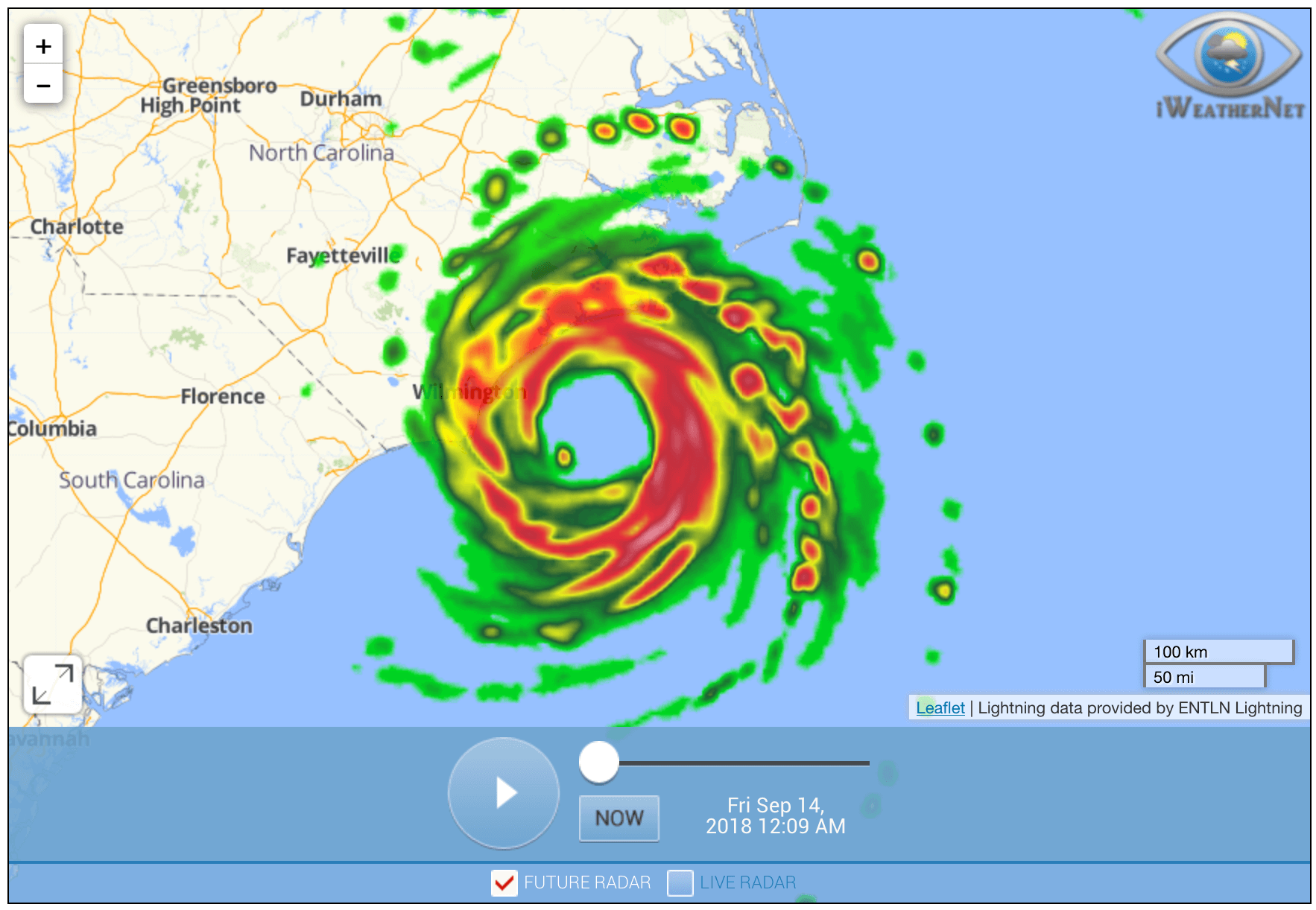
It's hard to find a good futurecast for radar like they use on local TV, even to try to look for a page with a video from the TV news broadcast. I had been using the following page for the past year or two, but it seems to have gone away.


abc

Well-known member
Joined
Mar 2, 2008
Messages
5,921
Points
113
Location
Lower Hudson Valley
Just to be clear....these aren't "forecasts"...these are tools used in part to make a forecast. There's zero human input or meteoritical skill....just computers running simulations.
But that's what I'm looking for. Not the actual "forecast". I don't need to "local fine tuning". I just want to avoid the weather turbulence, not maximizing the outcome of those weather.

This is for non-skiing (say, driving)
 

fbrissette

Well-known member
Joined
Mar 19, 2012
Messages
1,672
Points
48
Location
Montreal/Jay Peak
Pivotal is great for the Euro.

Just to be clear....these aren't "forecasts"...these are tools used in part to make a forecast. There's zero human input or meteoritical skill....just computers running simulations. @abc and others your local NOAA station would probably be best if you want map/graphics-based forecasts. They've really stepped up their game in recent years making easy-to-read maps for laypersons. My buddy is a meteorologist and he did a project for NOAA on graphics and what the "average" person wants to see that's easy to interpret and also informative.

For example, even the short-range models that do well when we're 3 days or less from an event will almost always over-do snowfall. Especially with mountains and coastal storms. You need that human input.
Numerical weather forecast are definitely forecasts. Nowadays, in many applications, human input has been greatly reduced to simply analyzing numerical model outputs and picking one based on historical bias in certain conditions. Most of the forecasts you see on the net have zero human inputs into them. Human input is still useful in many cases, but with always improving models, ensemble forecasts (which provide uncertainty estimates) and deep learning techniques, human input will decrease to even lower levels in the future.
 

jimmywilson69

Well-known member
Joined
Oct 18, 2010
Messages
3,365
Points
113
Location
Dillsburg, PA
The problem is that a lot of the weather models rely on sampling different strat of the atmosphere. Since COVID I know there have been less samplings, completed with weather balloons.
 

BenedictGomez

Well-known member
Joined
Jan 26, 2011
Messages
12,370
Points
113
Location
Wasatch Back
Wow, a 16 day forecast. Of course, days 8-16 are probably complete BS, but still a fun tool. Thanks Kusty.

Anything beyond 5 days is very unreliable. With snowfall, which is what most of us are concerned with, that is especially true (even fewer than 5 days really). At that 8-16 day point, you're looking for storm signals, not taking the graphical depictions you see seriously. Over the last decade I put in a lot of time to learn about meteorology specifically to apply it to skiing, and it was a worthy pursuit. I actually have a poster who used to post here to thank for that for challenging me, and I'm amazed how many times it's helped me with my skiing, booking hotel rooms, nailing storms, skipping days, driving safer, etc... I highly recommend it, and it's easier than ever to learn anything online these days. There are weather websites where genuine experts are happy to share their knowledge with total novices.
 

FBGM

Well-known member
Joined
Feb 19, 2016
Messages
794
Points
63
Location
Your Moms House
Like mentioned above, tropical tidbits GFS is easy to use and free. Judge your isobars and elevation to help with temps.

I have not found a Euro model like that yet. But I haven’t looked to hard. I base a lot of that GFS model run.
 

fbrissette

Well-known member
Joined
Mar 19, 2012
Messages
1,672
Points
48
Location
Montreal/Jay Peak
Like mentioned above, tropical tidbits GFS is easy to use and free. Judge your isobars and elevation to help with temps.

I have not found a Euro model like that yet. But I haven’t looked to hard. I base a lot of that GFS model run.
Pivotal weather lets you see precip and temp data from several models (including the ECMWF (euro) for free. Looking at multiple models is extremely useful. When all models converge to a similar 36-hour or less forecast, you know a big one is coming. To emphasize what BG said, 5-day local precipitation forecasts have zero-skill, zero (meaning they are no better then a random guess). Five days ahead, you may know a big dump is coming, but have no indication where it will land. Could be Virginia or Central Quebec. That's why looking at multiple models (or ensemble forecasts - which are probabilistic forecasts from a single model) is very telling.
 
Top