• Welcome to AlpineZone, the largest online community of skiers and snowboarders in the Northeast!

    You may have to REGISTER before you can post. Registering is FREE, gets rid of the majority of advertisements, and lets you participate in giveaways and other AlpineZone events!

Winter Forecast 2015-2016

catsup948

New member
Joined
Dec 6, 2007
Messages
1,026
Points
0
Location
Shelburne Falls, MA
18z GFS was very nice for the Berkshires. It has a low pretty close to the benchmark, Euro has a more amped low going over Burlington. Maybe we can get something in between and a big hit for western New England
 

ss20

Well-known member
Joined
Jan 13, 2013
Messages
3,989
Points
113
Location
A minute from the Alta exit off the I-15!
After looking at the GFS out to 384 hours for shits and giggles... all I'm gonna say is... we're got a lotof shots for precipitation. Alright class? Who can guess the key word in that sentence? Precipitation.

In all seriousness, it's a good thing these things are wrong whenever they're ~100 hours+ out, or else I'd call Noah and get the Ark built NOW!
 

BenedictGomez

Well-known member
Joined
Jan 26, 2011
Messages
12,546
Points
113
Location
Wasatch Back
00z GFS is in, and it shifts west, expands precipitation shield, fantastic run for all of ski country.

Ironically, while this appears to be awesome, I fear this might be bad news.

gfs_asnow_neus_28.png


EDIT:

Canuck comes west too, Gore / Whiteface jackpot were it to happen. S.VT and parts of NH wouldnt be all snow, and this could be ugly for Poconos and Cats.

gem_asnow_neus_26.png
 
Last edited:

catsup948

New member
Joined
Dec 6, 2007
Messages
1,026
Points
0
Location
Shelburne Falls, MA
00z GFS is in, and it shifts west, expands precipitation shield, fantastic run for all of ski country.

Ironically, while this appears to be awesome, I fear this might be bad news.

gfs_asnow_neus_28.png

Big time run for the snow starved nne resorts. Let's stop this moving west right here! Hopefully the Euro goes east from the mid day run.
 

catsup948

New member
Joined
Dec 6, 2007
Messages
1,026
Points
0
Location
Shelburne Falls, MA
Canadian not as amped but sorta ugly for some and great for northern vt. Runs the low from NYC to Presque isle. This has many runs to go. Should be a lot of fun to watch unfold.
 

Tin

Active member
Joined
Oct 14, 2009
Messages
2,996
Points
38
Location
ZooMass Slamherst
West again at 06z. Let's hope that movement stops ASAP.

Globals have been god awful this year though. Less used models seem to be doing quite well. And, dare I say, the NAM has been juiced but better with tracks.

 

catsup948

New member
Joined
Dec 6, 2007
Messages
1,026
Points
0
Location
Shelburne Falls, MA
West again at 06z. Let's hope that movement stops ASAP.

Globals have been god awful this year though. Less used models seem to be doing quite well. And, dare I say, the NAM has been juiced but better with tracks.

Yeah both the Euro and GFS haven't handled +nao well at all this winter. Hard to pin point a track when there isn't blocking.
 

skibumski

New member
Joined
Nov 30, 2015
Messages
49
Points
0
25 inch totals forecast in ski country by some models and people still rooting for a bad winter...

We're on a razor's edge for sure but I'm still seeing more likely than not that this breaks the right way.
 

from_the_NEK

Active member
Joined
Jun 5, 2006
Messages
4,576
Points
38
Location
Lyndonville, VT
Website
fineartamerica.com
25 inch totals forecast in ski country by some models and people still rooting for a bad winter...

We're on a razor's edge for sure but I'm still seeing more likely than not that this breaks the right way.

The razor has been pretty good at cutting the totals to virtually nothing this year in these parts (northern VT). I'm not holding my breath that the trend is changing. I'm in the "I'll be pleasantly surprised" boat if we end up getting enough snow to actually do something with.
 

drjeff

Well-known member
Joined
Jan 18, 2006
Messages
19,400
Points
113
Location
Brooklyn, CT
After looking at the GFS out to 384 hours for shits and giggles... all I'm gonna say is... we're got a lotof shots for precipitation. Alright class? Who can guess the key word in that sentence? Precipitation.

In all seriousness, it's a good thing these things are wrong whenever they're ~100 hours+ out, or else I'd call Noah and get the Ark built NOW!
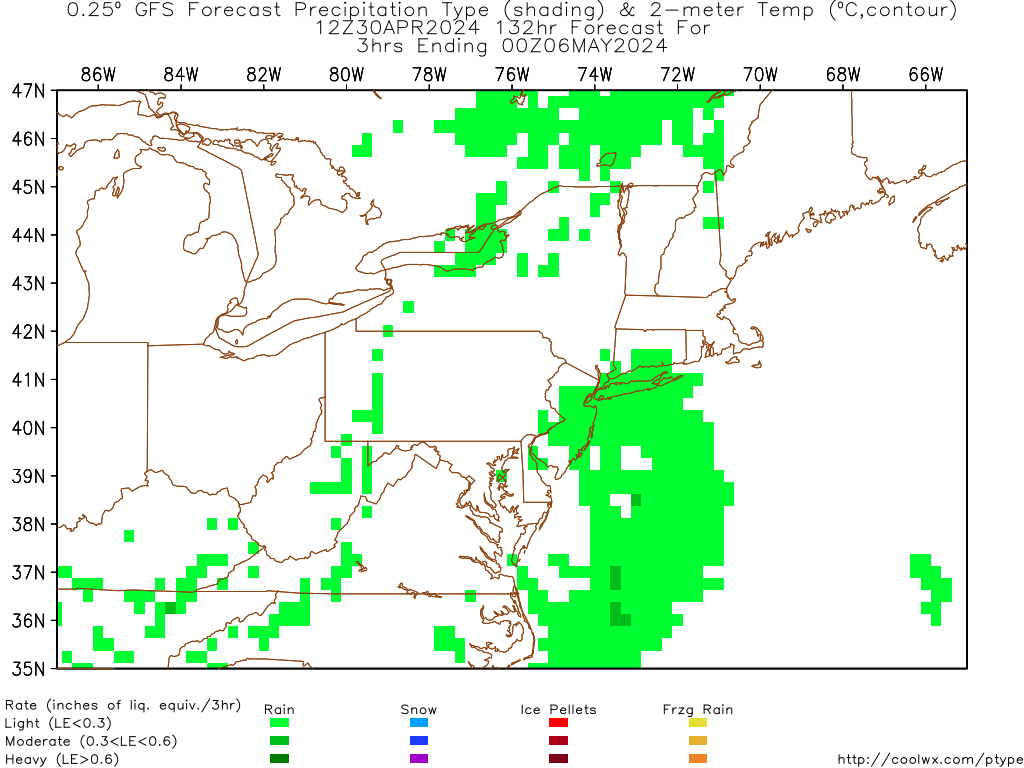
Those 384's are kind of like "OK, lets see what this bit of energy passing over our heads TODAY does after it's done the around the world tour once and comes back!" ;-)

As you said though, the key in the long range trends is that it looks ACTIVE for precipitation chances!! Time to start crossing fingers, toes, eyes, whatever you want to cross and make a few sacrifices to Ullr that the activity likely over the next few weeks in this part of the world will be heavy skewed to the snow side of the precipitation charts!! :snow:
 

catsup948

New member
Joined
Dec 6, 2007
Messages
1,026
Points
0
Location
Shelburne Falls, MA
I wonder if this ends up being a very wet snowy bomb for the northern greens and the daks. I don't like the look for eastern New England.
 

skibumski

New member
Joined
Nov 30, 2015
Messages
49
Points
0
Yep, the 12z GFS and Canadian didn't look too good. Still close to being okay but if it still looks this way tomorrow it's not looking good for white stuff.
 

BenedictGomez

Well-known member
Joined
Jan 26, 2011
Messages
12,546
Points
113
Location
Wasatch Back
GFS and Canadian both cave to the Euro and Ukie.

Unless this changes, it's precisely the doom and gloom for all of ski country that I feared.
 
Top