• Welcome to AlpineZone, the largest online community of skiers and snowboarders in the Northeast!

    You may have to REGISTER before you can post. Registering is FREE, gets rid of the majority of advertisements, and lets you participate in giveaways and other AlpineZone events!

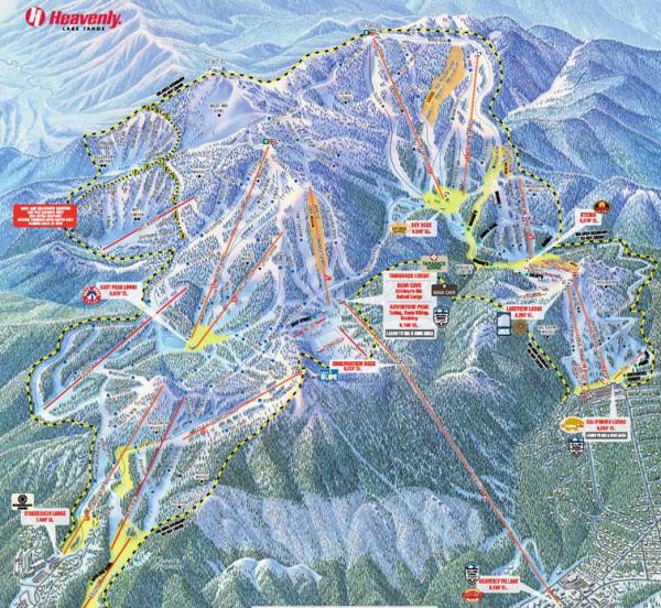
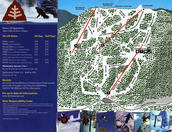
Worst Trail Maps

steamboat1

New member
Joined
Aug 15, 2011
Messages
6,613
Points
0
Location
Brooklyn,NY/Pittsford,VT.
The worst parts are the trail connectors.

Yep.

attachment.php
 

Attachments

  • al3_bluejacketgreenpants_lr_large.jpg
    al3_bluejacketgreenpants_lr_large.jpg
    273.9 KB · Views: 544

Quietman

Member
Joined
Jan 7, 2013
Messages
732
Points
18
Location
SW NH
Guilty. Now my 8 year old does it.


Sent from my iPhone using AlpineZone mobile app

I started with hand drawn maps, then started using MS Paint with hand drawn contour lines, then "graduated" to copying topo maps into Paint. Here is an great example of boredom, Black Mountain of Maine at full "Les Otten" build out. Haven't done any in a while

black mtn17.jpg
 

Zand

Well-known member
Joined
Dec 30, 2003
Messages
4,347
Points
113
Location
Spencer, MA
I remember the first time I went to Magic, the map incorrectly depicted a trail as ending higher up another trail than it actually did, so I ended up having to ski a groomer to the bottom instead of Goniff :(
 

mriceyman

New member
Joined
Jan 4, 2012
Messages
1,344
Points
0
Location
cnj
I remember the first time I went to Magic, the map incorrectly depicted a trail as ending higher up another trail than it actually did, so I ended up having to ski a groomer to the bottom instead of Goniff :(

The HORROR! Lol


Sent from my iPhone using AlpineZone
 

millerm277

Active member
Joined
Nov 18, 2006
Messages
1,803
Points
38
Location
NJ/NH
Can't believe Hunter's current map isn't on here. It makes the upper portion of the mountain where the majority of the skiing is look tiny, stretches out the lower section to absurd proportions, and makes it hard to tell how any of the West Side works. (Ex: Does Colonel's Alt connect to Clairs? Are Westway and Clairs one big wide run? Their previous map is more legible, more accurate to mountain layout, and better in every way I can see aside from needing the parks labeled a little better.

--------------

A prior disaster was the Sno/Montage trail map. 2011 map, 2007 map. Good luck understanding either. You might think you can get to the top of the Phoebe Snow lift from the base area/Switch/Spike, for example. You can't. (at least not without a significant hike).
 
Top